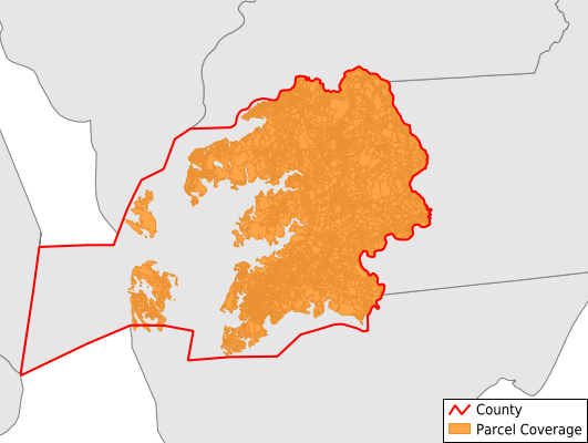
Somerset County
Parcel Data
Price: $200.00
Last Updated:
2025-Q3
Parcels in County:
17,011
Parcel data available to download as a GDB, GeoPackage, Shapefile, Excel, CSV, or Google Earth KML file.
All purchased data comes with six months of access, including any updates, at no additional cost.
Key attribute coverage for Somerset County
The percentage of Somerset County parcels containing the following key attributes:
Owner: 98.2%
Parcel Number: 98.3%
Acreage (Calculated): 100%
Site Address: 63.1%
Mailing Address: 98.2%
All available attributes in Somerset County
Parcel Number
Site Address
Owner
Transfer Date
Sale Price
Building Size
Land Use Code
Land Use Class
Zoning
Acreage (deeded)
Acreage (calculated)
Perimeter
Municipality
Zip Code
Flood Zone
Flood Zone Subtype
Census Tract
Census Block Group
Census Block
Mail Address1
Mail Address2
Mail Address3
Legal Desc1
Legal Desc2
Legal Desc3
Year Built
Place Gnis Code
Land Cover
Elevation
Owner Occupied
Robust Id
Usps Residential
Alt Id 1
Crop Cover
Acreage Adjacent With Sameowner
Flood Zones
Nearest Transmission Line Dist Ft
Nearest Substation Dist Ft
Derived Geom Properties
Municipalities Respresented in Somerset County
District 1, West Princess Anne: 2,502
District 10, Smith Island: 481
District 11, Dames Quarter: 291
District 12, Asbury: 1,006
District 13, Westover: 907
District 14, Deal Island: 612
District 15, East Princess Anne: 1,629
District 2, St. Peters: 564
District 3, Brinkleys: 1,746
District 4, Dublin: 1,039
District 5, Mount Vernon: 939
District 6, Fairmount: 752
District 7, Crisfield: 2,105
District 8, Lawsons: 1,930
District 9, Tangier: 496
Save money when you buy data in bulk
We offer discounted pricing on county and state downloads.