Last Updated:
2025-Q3
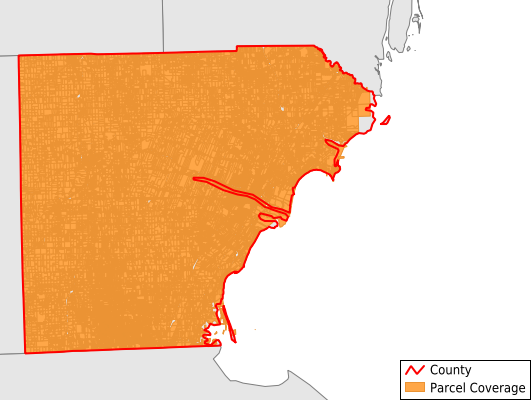
Parcels in County:
70,250
Parcel data available to download as a GDB, GeoPackage, Shapefile, Excel, CSV, or Google Earth KML file.
All purchased data comes with six months of access, including any updates, at no additional cost.
Key attribute coverage for Monroe County
The percentage of Monroe County parcels containing the following key attributes:
Owner: 99.9%
Parcel Number: 99.9%
Acreage (Calculated): 100%
Site Address: 99.8%
Mailing Address: 99.8%
All available attributes in Monroe County
Parcel Number
Site Address
Owner
Zoning
Acreage (calculated)
Perimeter
Municipality
School District
Zip Code
Flood Zone
Flood Zone Subtype
Census Tract
Census Block Group
Census Block
Coowner
Mail Address1
Mail Address3
Legal Desc1
Year Built
Buildings
Addr Sec Unit Num
Place Gnis Code
Land Cover
Elevation
Owner Occupied
Robust Id
Usps Residential
Plss Description
Plss Township
Plss Range
Plss Section
Crop Cover
Acreage Adjacent With Sameowner
Flood Zones
Nearest Transmission Line Dist Ft
Nearest Substation Dist Ft
Derived Geom Properties
Municipalities Respresented in Monroe County
Ash Township: 3,230
Bedford Township: 13,706
Berlin Charter Township: 4,216
Dundee Township: 4,030
Erie Township: 2,743
Exeter Township: 2,076
Flat Rock City: 0
Frenchtown Township: 8,119
Ida Township: 2,377
La Salle Township: 3,042
London Township: 1,803
Luna Pier City: 887
Milan Township: 1,146
Milan City: 868
Monroe City: 7,722
Monroe Charter Township: 6,499
Petersburg City: 519
Raisinville Township: 2,822
Summerfield Township: 1,908
Whiteford Township: 2,532
Save money when you buy data in bulk
We offer discounted pricing on county and state downloads.