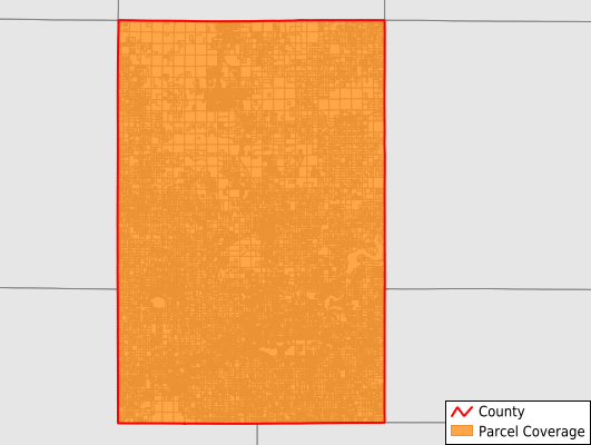
Newaygo County
Parcel Data
Price: $250.00
Last Updated:
2026-Q2
Parcels in County:
40,007
Parcel data available to download as a GDB, GeoPackage, Shapefile, Excel, CSV, or Google Earth KML file.
All purchased data comes with six months of access, including any updates, at no additional cost.
Key attribute coverage for Newaygo County
The percentage of Newaygo County parcels containing the following key attributes:
Owner: 97.1%
Parcel Number: 100%
Acreage (Calculated): 100%
Site Address: 70.3%
Mailing Address: 97.1%
All available attributes in Newaygo County
Parcel Number
Site Address
Owner
Land Use Code
Land Use Class
Zoning
Acreage (calculated)
Perimeter
Municipality
School District
Zip Code
Flood Zone
Flood Zone Subtype
Census Tract
Census Block Group
Census Block
Total Market Value
Coowner
Mail Name
Mail Address1
Mail Address3
Legal Desc1
Legal Desc2
Legal Desc3
Addr Sec Unit Num
Place Gnis Code
Land Cover
Elevation
Owner Occupied
Robust Id
Usps Residential
Alt Id 1
Plss Description
Plss Township
Plss Range
Plss Section
Crop Cover
Acreage Adjacent With Sameowner
Flood Zones
Nearest Transmission Line Dist Ft
Nearest Substation Dist Ft
Derived Geom Properties
Robust Id Source
Municipalities Respresented in Newaygo County
Ashland Township: 1,763
Barton Township: 652
Beaver Township: 558
Big Prairie Township: 2,304
Bridgeton Township: 1,373
Brooks Township: 3,090
Croton Township: 2,988
Dayton Township: 1,197
Denver Township: 1,339
Ensley Township: 1,682
Everett Township: 1,673
Fremont City: 2,004
Garfield Township: 1,784
Goodwell Township: 619
Grant City: 449
Grant Township: 1,912
Home Township: 436
Lilley Township: 1,584
Lincoln Township: 1,392
Merrill Township: 4,090
Monroe Township: 545
Newaygo City: 977
Norwich Township: 500
Sheridan Charter Township: 1,425
Sherman Township: 1,589
Troy Township: 364
White Cloud City: 656
Wilcox Township: 1,062
Save money when you buy data in bulk
We offer discounted pricing on county and state downloads.