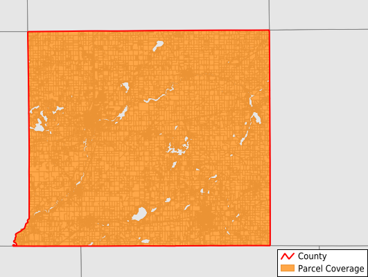
St. Joseph County
Parcel Data
Price: $300.00
Last Updated:
2026-Q2
Parcels in County:
35,579
Parcel data available to download as a GDB, GeoPackage, Shapefile, Excel, CSV, or Google Earth KML file.
All purchased data comes with six months of access, including any updates, at no additional cost.
Key attribute coverage for St. Joseph County
The percentage of St. Joseph County parcels containing the following key attributes:
Owner: 99.5%
Parcel Number: 99.8%
Acreage (Calculated): 100%
Site Address: 83.5%
Mailing Address: 99.5%
All available attributes in St. Joseph County
Parcel Number
Site Address
Owner
Transfer Date
Sale Price
Land Use Code
Land Use Class
Zoning
Acreage (deeded)
Acreage (calculated)
Perimeter
Municipality
School District
Zip Code
Flood Zone
Flood Zone Subtype
Census Tract
Census Block Group
Census Block
Coowner
Mail Address1
Mail Address3
Legal Desc1
Addr Sec Unit Num
Place Gnis Code
Land Cover
Elevation
Owner Occupied
Robust Id
Usps Residential
Plss Description
Plss Township
Plss Range
Plss Section
Crop Cover
Acreage Adjacent With Sameowner
Flood Zones
Nearest Transmission Line Dist Ft
Nearest Substation Dist Ft
Derived Geom Properties
Robust Id Source
Municipalities Respresented in St. Joseph County
Burr Oak Township: 1,670
Colon Township: 2,513
Constantine Township: 2,106
Fabius Township: 2,929
Fawn River Township: 951
Florence Township: 833
Flowerfield Township: 1,108
Leonidas Township: 1,004
Lockport Township: 2,388
Mendon Township: 1,696
Mottville Township: 970
Nottawa Township: 2,488
Park Township: 1,769
Sherman Township: 2,224
Sturgis City: 3,967
Sturgis Township: 977
Three Rivers City: 3,114
White Pigeon Township: 2,871
Save money when you buy data in bulk
We offer discounted pricing on county and state downloads.