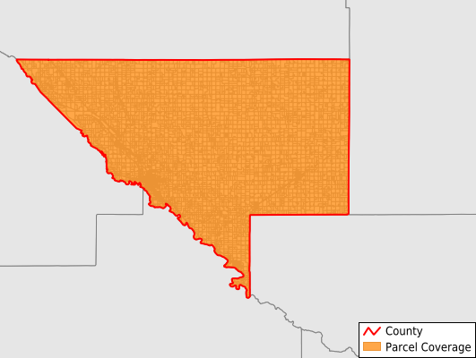
Chippewa County
Parcel Data
Price: $200.00
Last Updated:
2026-Q3
Parcels in County:
11,971
Parcel data available to download as a GDB, GeoPackage, Shapefile, Excel, CSV, or Google Earth KML file.
All purchased data comes with six months of access, including any updates, at no additional cost.
Key attribute coverage for Chippewa County
The percentage of Chippewa County parcels containing the following key attributes:
Owner: 94.3%
Parcel Number: 100%
Acreage (Calculated): 100%
Site Address: 51.5%
Mailing Address: 94.2%
All available attributes in Chippewa County
Parcel Number
Site Address
Owner
Land Use Code
Land Use Class
Acreage (deeded)
Acreage (calculated)
Perimeter
Municipality
School District
Zip Code
Flood Zone
Flood Zone Subtype
Census Tract
Census Block Group
Census Block
Mail Address1
Mail Address2
Mail Address3
Buildings
Addr Sec Unit Num
Place Gnis Code
Land Cover
Elevation
Owner Occupied
Robust Id
Usps Residential
Plss Description
Plss Township
Plss Range
Plss Section
Crop Cover
Acreage Adjacent With Sameowner
Flood Zones
Nearest Transmission Line Dist Ft
Nearest Substation Dist Ft
Derived Geom Properties
Robust Id Source
Geom Id
Duplicate Geom Seq
Duplicate Geom Ct
Municipalities Respresented in Chippewa County
Big Bend Township: 415
Clara City City: 863
Crate Township: 334
Grace Township: 253
Granite Falls Township: 408
Havelock Township: 292
Kragero Township: 419
Leenthrop Township: 353
Lone Tree Township: 304
Louriston Township: 298
Mandt Township: 296
Rheiderland Township: 322
Rosewood Township: 397
Sparta Township: 1,139
Stoneham Township: 340
Tunsberg Township: 534
Woods Township: 261
Granite Falls City: 733
Maynard City: 315
Milan City: 294
Montevideo City: 3,210
Raymond City: 1
Watson City: 190
Save money when you buy data in bulk
We offer discounted pricing on county and state downloads.