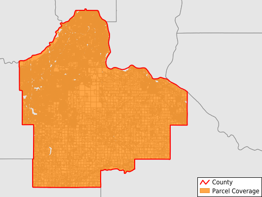
Last Updated:
2026-Q4
Parcels in County:
161,968
Parcel data available to download as a GDB, GeoPackage, Shapefile, Excel, CSV, or Google Earth KML file.
All purchased data comes with six months of access, including any updates, at no additional cost.
Key attribute coverage for Dakota County
The percentage of Dakota County parcels containing the following key attributes:
Owner: 100%
Parcel Number: 100%
Acreage (Calculated): 100%
Site Address: 91.3%
Mailing Address: 100%
All available attributes in Dakota County
Parcel Number
Owner
Transfer Date
Sale Price
Building Size
Land Use Code
Land Use Class
Acreage (deeded)
Zip Code
Flood Zone
Flood Zone Subtype
Census Tract
Census Block
Total Market Value
Land Market Value
Building Market Value
Mail Address1
Mail Address2
Mail Address3
Legal Desc1
Year Built
Bedrooms
Total Bath
Buildings
Land Cover
Elevation
Owner Occupied
Robust Id
Usps Residential
Alt Id 1
Crop Cover
Acreage Adjacent With Sameowner
Municipalities Respresented in Dakota County
Mendota City: 148
Douglas Township: 640
Sciota Township: 367
Randolph City: 265
Farmington City: 9,598
Rosemount City: 11,938
Hampton City: 312
West St. Paul City: 6,790
Ravenna Township: 1,237
Apple Valley City: 16,845
Inver Grove Heights City: 13,219
Northfield City: 580
Waterford Township: 452
Eureka Township: 979
Greenvale Township: 650
Empire Township: 1,388
Burnsville City: 19,618
Hampton Township: 801
Castle Rock Township: 991
Lakeville City: 24,986
South St. Paul City: 8,140
Nininger Township: 769
Randolph Township: 597
Marshan Township: 830
Coates City: 110
New Trier City: 69
Miesville City: 114
Mendota Heights City: 5,217
Hastings City: 8,397
Lilydale City: 545
Eagan City: 24,054
Vermillion City: 212
Sunfish Lake City: 259
Vermillion Township: 850
Save money when you buy data in bulk
We offer discounted pricing on county and state downloads.