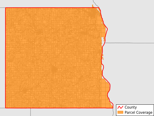
Houston County
Parcel Data
Price: $250.00
Last Updated:
2025-Q4
Parcels in County:
16,651
Parcel data available to download as a GDB, GeoPackage, Shapefile, Excel, CSV, or Google Earth KML file.
All purchased data comes with six months of access, including any updates, at no additional cost.
Key attribute coverage for Houston County
The percentage of Houston County parcels containing the following key attributes:
Owner: 97.2%
Parcel Number: 97.5%
Acreage (Calculated): 100%
Site Address: 42%
Mailing Address: 67.2%
All available attributes in Houston County
Parcel Number
Site Address
Owner
Land Use Code
Land Use Class
Acreage (deeded)
Acreage (calculated)
Perimeter
Municipality
School District
Zip Code
Flood Zone
Flood Zone Subtype
Census Tract
Census Block Group
Census Block
Coowner
Mail Name
Mail Address1
Mail Address3
Legal Desc1
Legal Desc2
Buildings
Place Gnis Code
Land Cover
Elevation
Owner Occupied
Robust Id
Usps Residential
Alt Id 1
Alt Id 2
Plss Description
Plss Township
Plss Range
Plss Section
Crop Cover
Acreage Adjacent With Sameowner
Flood Zones
Nearest Transmission Line Dist Ft
Nearest Substation Dist Ft
Derived Geom Properties
Municipalities Respresented in Houston County
Black Hammer Township: 539
Brownsville Township: 517
Caledonia Township: 669
Crooked Creek Township: 481
Hokah Township: 600
Houston Township: 554
Jefferson Township: 381
La Crescent Township: 870
Mayville Township: 517
Money Creek Township: 740
Mound Prairie Township: 688
Sheldon Township: 545
Spring Grove Township: 594
Union Township: 444
Wilmington Township: 581
Winnebago Township: 523
Yucatan Township: 654
Brownsville City: 418
Caledonia City: 1,590
Hokah City: 431
Houston City: 657
Eitzen City: 220
La Crescent City: 2,553
Spring Grove City: 812
Save money when you buy data in bulk
We offer discounted pricing on county and state downloads.