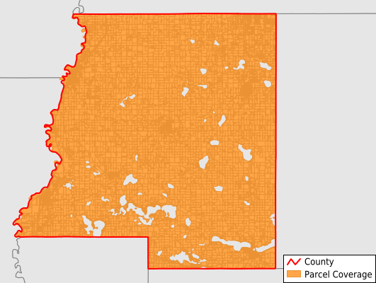
Le Sueur County
Parcel Data
Price: $250.00
Last Updated:
2026-Q1
Parcels in County:
19,562
Parcel data available to download as a GDB, GeoPackage, Shapefile, Excel, CSV, or Google Earth KML file.
All purchased data comes with six months of access, including any updates, at no additional cost.
Key attribute coverage for Le Sueur County
The percentage of Le Sueur County parcels containing the following key attributes:
Owner: 99.9%
Parcel Number: 100%
Acreage (Calculated): 100%
Site Address: 70%
Mailing Address: 99.9%
All available attributes in Le Sueur County
Parcel Number
Site Address
Owner
Land Use Code
Land Use Class
Acreage (deeded)
Acreage (calculated)
Perimeter
Municipality
School District
Zip Code
Flood Zone
Flood Zone Subtype
Census Tract
Census Block Group
Census Block
Mail Name
Mail Address1
Mail Address2
Mail Address3
Legal Desc1
Legal Desc2
Legal Desc3
Buildings
Addr Sec Unit Num
Place Gnis Code
Land Cover
Elevation
Owner Occupied
Robust Id
Usps Residential
Alt Id 1
Plss Description
Plss Township
Plss Range
Plss Section
Crop Cover
Acreage Adjacent With Sameowner
Flood Zones
Nearest Transmission Line Dist Ft
Nearest Substation Dist Ft
Derived Geom Properties
Robust Id Source
Municipalities Respresented in Le Sueur County
Cleveland Township: 853
Cordova Township: 741
Derrynane Township: 533
Elysian Township: 1,222
Kasota Township: 1,382
Kilkenny Township: 556
Lanesburgh Township: 1,160
Lexington Township: 678
Montgomery Township: 622
Ottawa Township: 371
Sharon Township: 655
Tyrone Township: 546
Washington Township: 735
Waterville Township: 784
Cleveland City: 390
Heidelberg City: 66
Elysian City: 614
New Prague City: 1,442
Montgomery City: 1,672
Kasota City: 424
Kilkenny City: 125
Le Center City: 1,033
Le Sueur City: 1,845
Mankato City: 2
Waterville City: 1,107
Save money when you buy data in bulk
We offer discounted pricing on county and state downloads.