Last Updated:
2025-Q3
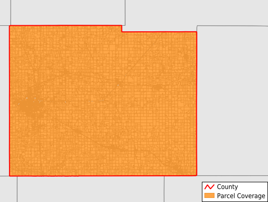
Parcels in County:
23,005
Parcel data available to download as a GDB, GeoPackage, Shapefile, Excel, CSV, or Google Earth KML file.
All purchased data comes with six months of access, including any updates, at no additional cost.
Key attribute coverage for Mower County
The percentage of Mower County parcels containing the following key attributes:
Owner: 99.3%
Parcel Number: 99.5%
Acreage (Calculated): 100%
Site Address: 70.5%
Mailing Address: 99.5%
All available attributes in Mower County
Parcel Number
Site Address
Owner
Land Use Code
Land Use Class
Acreage (deeded)
Acreage (calculated)
Perimeter
Municipality
School District
Zip Code
Flood Zone
Flood Zone Subtype
Census Tract
Census Block Group
Census Block
Mail Name
Mail Address1
Mail Address3
Legal Desc1
Legal Desc2
Buildings
Addr Sec Unit Num
Place Gnis Code
Land Cover
Elevation
Owner Occupied
Robust Id
Usps Residential
Alt Id 1
Plss Description
Plss Township
Plss Range
Plss Section
Crop Cover
Acreage Adjacent With Sameowner
Flood Zones
Nearest Transmission Line Dist Ft
Nearest Substation Dist Ft
Derived Geom Properties
Robust Id Source
Municipalities Respresented in Mower County
Adams Township: 489
Austin Township: 758
Bennington Township: 247
Clayton Township: 251
Dexter Township: 360
Frankford Township: 401
Grand Meadow Township: 370
Lansing Township: 802
Le Roy Township: 477
Lodi Township: 329
Lyle Township: 427
Marshall Township: 387
Nevada Township: 437
Pleasant Valley Township: 278
Racine Township: 427
Red Rock Township: 647
Sargeant Township: 303
Udolpho Township: 474
Waltham Township: 354
Windom Township: 497
Brownsdale City: 382
Adams City: 445
Austin City: 10,674
Dexter City: 255
Elkton City: 100
Grand Meadow City: 601
Le Roy City: 601
Lyle City: 305
Mapleview City: 125
Taopi City: 64
Racine City: 258
Rose Creek City: 278
Sargeant City: 81
Waltham City: 121
Save money when you buy data in bulk
We offer discounted pricing on county and state downloads.