Last Updated:
2025-Q3
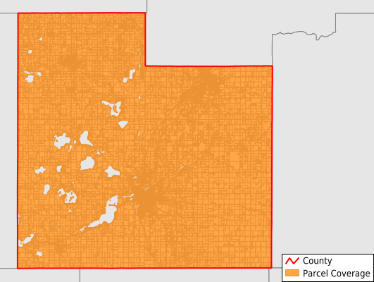
Parcels in County:
28,154
Parcel data available to download as a GDB, GeoPackage, Shapefile, Excel, CSV, or Google Earth KML file.
All purchased data comes with six months of access, including any updates, at no additional cost.
Key attribute coverage for Rice County
The percentage of Rice County parcels containing the following key attributes:
Owner: 99.9%
Parcel Number: 100%
Acreage (Calculated): 100%
Site Address: 81.3%
Mailing Address: 99.9%
All available attributes in Rice County
Parcel Number
Site Address
Owner
Transfer Date
Sale Price
Acreage (deeded)
Acreage (calculated)
Perimeter
Municipality
School District
Zip Code
Flood Zone
Flood Zone Subtype
Census Tract
Census Block Group
Census Block
Mail Address1
Mail Address3
Legal Desc1
Buildings
Addr Sec Unit Num
Place Gnis Code
Land Cover
Elevation
Owner Occupied
Robust Id
Usps Residential
Alt Id 1
Plss Description
Plss Township
Plss Range
Plss Section
Crop Cover
Acreage Adjacent With Sameowner
Flood Zones
Nearest Transmission Line Dist Ft
Nearest Substation Dist Ft
Derived Geom Properties
Robust Id Source
Municipalities Respresented in Rice County
Bridgewater Township: 1,097
Cannon City Township: 846
Erin Township: 716
Forest Township: 943
Morristown Township: 637
Northfield Township: 668
Richland Township: 395
Shieldsville Township: 947
Walcott Township: 705
Warsaw Township: 954
Webster Township: 1,174
Wells Township: 1,263
Wheatland Township: 820
Wheeling Township: 461
Dennison City: 19
Dundas City: 835
Faribault City: 7,821
Nerstrand City: 181
Northfield City: 5,257
Morristown City: 470
Lonsdale City: 1,944
Save money when you buy data in bulk
We offer discounted pricing on county and state downloads.