Last Updated:
2026-Q2
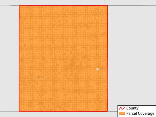
Parcels in County:
8,266
Parcel data available to download as a GDB, GeoPackage, Shapefile, Excel, CSV, or Google Earth KML file.
All purchased data comes with six months of access, including any updates, at no additional cost.
Key attribute coverage for Rock County
The percentage of Rock County parcels containing the following key attributes:
Owner: 99.7%
Parcel Number: 100%
Acreage (Calculated): 100%
Site Address: 59.2%
Mailing Address: 100%
All available attributes in Rock County
Parcel Number
Site Address
Owner
Acreage (deeded)
Acreage (calculated)
Perimeter
Municipality
School District
Zip Code
Census Tract
Census Block Group
Census Block
Mail Name
Mail Address1
Mail Address2
Mail Address3
Legal Desc1
Legal Desc2
Legal Desc3
Buildings
Addr Sec Unit Num
Place Gnis Code
Land Cover
Elevation
Owner Occupied
Robust Id
Usps Residential
Plss Description
Plss Township
Plss Range
Plss Section
Crop Cover
Acreage Adjacent With Sameowner
Nearest Transmission Line Dist Ft
Nearest Substation Dist Ft
Derived Geom Properties
Robust Id Source
Municipalities Respresented in Rock County
Battle Plain Township: 291
Beaver Creek Township: 486
Clinton Township: 428
Denver Township: 260
Kanaranzi Township: 368
Luverne Township: 509
Magnolia Township: 341
Martin Township: 557
Mound Township: 351
Rose Dell Township: 366
Springwater Township: 397
Vienna Township: 282
Beaver Creek City: 183
Hardwick City: 167
Hills City: 396
Jasper City: 67
Kenneth City: 73
Luverne City: 2,473
Magnolia City: 134
Steen City: 136
Save money when you buy data in bulk
We offer discounted pricing on county and state downloads.