Last Updated:
2026-Q3
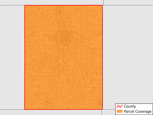
Parcels in County:
20,207
Parcel data available to download as a GDB, GeoPackage, Shapefile, Excel, CSV, or Google Earth KML file.
All purchased data comes with six months of access, including any updates, at no additional cost.
Key attribute coverage for Steele County
The percentage of Steele County parcels containing the following key attributes:
Owner: 99.1%
Parcel Number: 100%
Acreage (Calculated): 100%
Site Address: 78%
Mailing Address: 99.1%
All available attributes in Steele County
Parcel Number
Site Address
Owner
Land Use Code
Land Use Class
Zoning
Acreage (deeded)
Acreage (calculated)
Perimeter
Municipality
School District
Zip Code
Flood Zone
Flood Zone Subtype
Census Tract
Census Block Group
Census Block
Mail Address1
Mail Address2
Mail Address3
Legal Desc1
Buildings
Addr Sec Unit Num
Place Gnis Code
Land Cover
Elevation
Owner Occupied
Robust Id
Usps Residential
Plss Description
Plss Township
Plss Range
Plss Section
Crop Cover
Acreage Adjacent With Sameowner
Flood Zones
Nearest Transmission Line Dist Ft
Nearest Substation Dist Ft
Derived Geom Properties
Robust Id Source
Geom Id
Duplicate Geom Seq
Duplicate Geom Ct
Municipalities Respresented in Steele County
Aurora Township: 576
Berlin Township: 685
Blooming Prairie Township: 533
Clinton Falls Township: 425
Deerfield Township: 534
Havana Township: 610
Lemond Township: 610
Medford Township: 410
Meriden Township: 606
Merton Township: 447
Owatonna Township: 663
Somerset Township: 768
Summit Township: 540
Blooming Prairie City: 1,090
Ellendale City: 439
Medford City: 606
Owatonna City: 10,665
Save money when you buy data in bulk
We offer discounted pricing on county and state downloads.