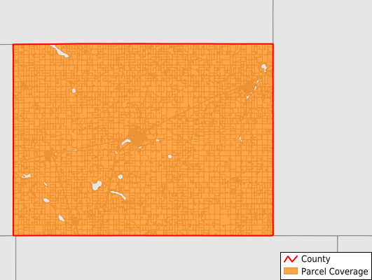
Watonwan County
Parcel Data
Price: $250.00
Last Updated:
2026-Q2
Parcels in County:
8,214
Parcel data available to download as a GDB, GeoPackage, Shapefile, Excel, CSV, or Google Earth KML file.
All purchased data comes with six months of access, including any updates, at no additional cost.
Key attribute coverage for Watonwan County
The percentage of Watonwan County parcels containing the following key attributes:
Owner: 99.1%
Parcel Number: 99.1%
Acreage (Calculated): 100%
Site Address: 100%
Mailing Address: 100%
All available attributes in Watonwan County
Parcel Number
Site Address
Owner
Neighborhood Code
Land Use Code
Land Use Class
Acreage (deeded)
Acreage (calculated)
Perimeter
Municipality
School District
Zip Code
Flood Zone
Flood Zone Subtype
Census Tract
Census Block Group
Census Block
Mail Name
Mail Address1
Mail Address2
Mail Address3
Legal Desc1
Legal Desc2
Legal Desc3
Buildings
Place Gnis Code
Land Cover
Elevation
Owner Occupied
Robust Id
Usps Residential
Alt Id 1
Plss Description
Plss Township
Plss Range
Plss Section
Crop Cover
Acreage Adjacent With Sameowner
Flood Zones
Nearest Transmission Line Dist Ft
Nearest Substation Dist Ft
Derived Geom Properties
Robust Id Source
Municipalities Respresented in Watonwan County
Adrian Township: 304
Antrim Township: 357
Butterfield Township: 309
Fieldon Township: 307
Long Lake Township: 538
Madelia Township: 431
Nelson Township: 383
Odin Township: 334
Riverdale Township: 414
Rosendale Township: 375
St. James Township: 348
South Branch Township: 360
Butterfield City: 297
Darfur City: 97
Odin City: 110
La Salle City: 78
Lewisville City: 168
Madelia City: 1,033
Ormsby City: 74
St. James City: 1,897
Save money when you buy data in bulk
We offer discounted pricing on county and state downloads.