Last Updated:
2026-Q3
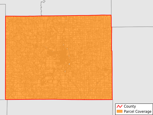
Parcels in County:
14,859
Parcel data available to download as a GDB, GeoPackage, Shapefile, Excel, CSV, or Google Earth KML file.
All purchased data comes with six months of access, including any updates, at no additional cost.
Key attribute coverage for Adair County
The percentage of Adair County parcels containing the following key attributes:
Owner: 100%
Parcel Number: 100%
Acreage (Calculated): 100%
Site Address: 100%
Mailing Address: 99.9%
All available attributes in Adair County
Parcel Number
Site Address
Owner
Transfer Date
Sale Price
Building Size
Land Use Code
Land Use Class
Zoning
Acreage (deeded)
Acreage (calculated)
Perimeter
Municipality
School District
Zip Code
Census Tract
Census Block Group
Census Block
Total Market Value
Mail Address1
Mail Address3
Legal Desc1
Year Built
Style
Buildings
Addr Sec Unit Num
Place Gnis Code
Land Cover
Elevation
Owner Occupied
Robust Id
Usps Residential
Alt Id 1
Plss Description
Plss Township
Plss Range
Plss Section
Crop Cover
Acreage Adjacent With Sameowner
Flood Zones
Nearest Transmission Line Dist Ft
Nearest Substation Dist Ft
Derived Geom Properties
Robust Id Source
Geom Id
Municipalities Respresented in Adair County
Benton Township: 8,069
Clay Township: 824
Liberty Township: 605
Morrow Township: 680
Nineveh Township: 1,325
Pettis Township: 886
Polk Township: 480
Salt River Township: 904
Walnut Township: 491
Wilson Township: 595
Save money when you buy data in bulk
We offer discounted pricing on county and state downloads.