Last Updated:
2025-Q4
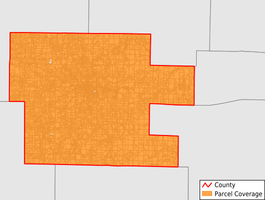
Parcels in County:
12,393
Parcel data available to download as a GDB, GeoPackage, Shapefile, Excel, CSV, or Google Earth KML file.
All purchased data comes with six months of access, including any updates, at no additional cost.
Key attribute coverage for Dent County
The percentage of Dent County parcels containing the following key attributes:
Owner: 100%
Parcel Number: 100%
Acreage (Calculated): 100%
Site Address: 86.6%
Mailing Address: 93.9%
All available attributes in Dent County
Parcel Number
Site Address
Owner
Neighborhood Code
Acreage (calculated)
Perimeter
Municipality
School District
Zip Code
Flood Zone
Flood Zone Subtype
Census Tract
Census Block Group
Census Block
Mail Address1
Mail Address3
Legal Desc1
Legal Desc2
Legal Desc3
Buildings
Addr Sec Unit Num
Place Gnis Code
Land Cover
Elevation
Owner Occupied
Robust Id
Usps Residential
Alt Id 1
Plss Description
Plss Township
Plss Range
Plss Section
Crop Cover
Acreage Adjacent With Sameowner
Flood Zones
Nearest Transmission Line Dist Ft
Nearest Substation Dist Ft
Derived Geom Properties
Municipalities Respresented in Dent County
Current Township: 705
Franklin Township: 797
Gladden Township: 598
Linn Township: 279
Meramec Township: 437
Norman Township: 573
Osage Township: 591
Short Bend Township: 727
Sinkin Township: 519
Texas Township: 769
Watkins Township: 1,557
Spring Creek East Township: 2,488
Spring Creek West Township: 2,352
Save money when you buy data in bulk
We offer discounted pricing on county and state downloads.