Last Updated:
2026-Q3
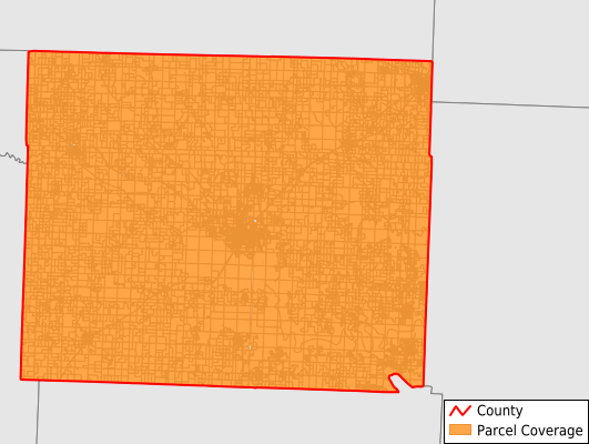
Parcels in County:
16,554
Parcel data available to download as a GDB, GeoPackage, Shapefile, Excel, CSV, or Google Earth KML file.
All purchased data comes with six months of access, including any updates, at no additional cost.
Key attribute coverage for Henry County
The percentage of Henry County parcels containing the following key attributes:
Owner: 99.9%
Parcel Number: 100%
Acreage (Calculated): 100%
Site Address: 79.8%
Mailing Address: 99.9%
All available attributes in Henry County
Parcel Number
Site Address
Owner
Land Use Code
Land Use Class
Acreage (deeded)
Acreage (calculated)
Perimeter
Municipality
School District
Zip Code
Flood Zone
Flood Zone Subtype
Census Tract
Census Block Group
Census Block
Total Market Value
Land Market Value
Mail Address1
Mail Address2
Mail Address3
Legal Desc1
Addr Sec Unit Num
Place Gnis Code
Land Cover
Elevation
Owner Occupied
Robust Id
Usps Residential
Alt Id 1
Plss Description
Plss Township
Plss Range
Plss Section
Crop Cover
Acreage Adjacent With Sameowner
Flood Zones
Nearest Transmission Line Dist Ft
Nearest Substation Dist Ft
Derived Geom Properties
Robust Id Source
Geom Id
Municipalities Respresented in Henry County
Bear Creek Township: 260
Bethlehem Township: 610
Big Creek Township: 390
Bogard Township: 676
Clinton Township: 4,532
Davis Township: 328
Deepwater Township: 609
Deer Creek Township: 529
Fairview Township: 680
Fields Creek Township: 1,006
Honey Creek Township: 331
Leesville Township: 1,047
Osage Township: 984
Shawnee Township: 427
Springfield Township: 332
Tebo Township: 791
Walker Township: 323
White Oak Township: 681
Windsor Township: 2,018
Save money when you buy data in bulk
We offer discounted pricing on county and state downloads.