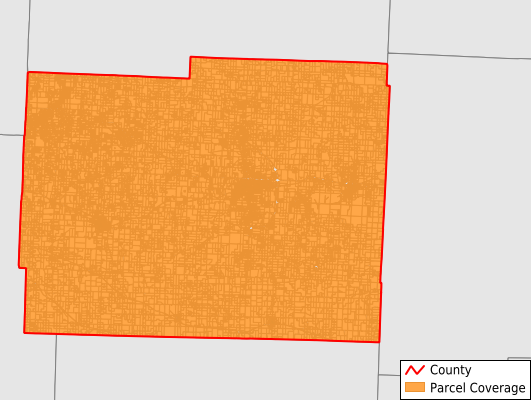
Johnson County
Parcel Data
Price: $200.00
Last Updated:
2026-Q3
Parcels in County:
27,954
Parcel data available to download as a GDB, GeoPackage, Shapefile, Excel, CSV, or Google Earth KML file.
All purchased data comes with six months of access, including any updates, at no additional cost.
Key attribute coverage for Johnson County
The percentage of Johnson County parcels containing the following key attributes:
Owner: 100%
Parcel Number: 99.9%
Acreage (Calculated): 100%
Site Address: 74.3%
Mailing Address: 98.6%
All available attributes in Johnson County
Parcel Number
Site Address
Owner
Acreage (deeded)
Acreage (calculated)
Perimeter
Municipality
School District
Zip Code
Flood Zone
Flood Zone Subtype
Census Tract
Census Block Group
Census Block
Total Market Value
Land Market Value
Mail Name
Mail Address1
Mail Address2
Mail Address3
Legal Desc1
Addr Sec Unit Num
Place Gnis Code
Land Cover
Elevation
Owner Occupied
Robust Id
Usps Residential
Alt Id 1
Plss Description
Plss Township
Plss Range
Plss Section
Crop Cover
Acreage Adjacent With Sameowner
Flood Zones
Nearest Transmission Line Dist Ft
Nearest Substation Dist Ft
Derived Geom Properties
Robust Id Source
Geom Id
Duplicate Geom Seq
Duplicate Geom Ct
Municipalities Respresented in Johnson County
Centerview Township: 1,246
Chilhowee Township: 1,045
Columbus Township: 831
Grover Township: 644
Hazel Hill Township: 1,122
Jackson Township: 3,104
Jefferson Township: 780
Kingsville Township: 1,136
Madison Township: 2,214
Montserrat Township: 1,190
Post Oak Township: 1,421
Rose Hill Township: 1,070
Simpson Township: 553
Warrensburg Township: 9,172
Washington Township: 2,426
Save money when you buy data in bulk
We offer discounted pricing on county and state downloads.