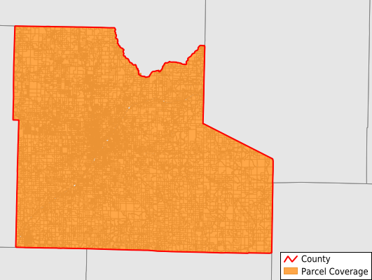
Laclede County
Parcel Data
Price: $200.00
Last Updated:
2026-Q3
Parcels in County:
21,920
Parcel data available to download as a GDB, GeoPackage, Shapefile, Excel, CSV, or Google Earth KML file.
All purchased data comes with six months of access, including any updates, at no additional cost.
Key attribute coverage for Laclede County
The percentage of Laclede County parcels containing the following key attributes:
Owner: 100%
Parcel Number: 99.7%
Acreage (Calculated): 100%
Site Address: 89.5%
Mailing Address: 99.7%
All available attributes in Laclede County
Parcel Number
Site Address
Owner
Transfer Date
Acreage (deeded)
Acreage (calculated)
Perimeter
Municipality
School District
Zip Code
Flood Zone
Flood Zone Subtype
Census Tract
Census Block Group
Census Block
Total Market Value
Land Market Value
Building Market Value
Mail Address1
Mail Address2
Mail Address3
Legal Desc1
Addr Sec Unit Num
Place Gnis Code
Land Cover
Elevation
Owner Occupied
Robust Id
Usps Residential
Alt Id 1
Plss Description
Plss Township
Plss Range
Plss Section
Crop Cover
Acreage Adjacent With Sameowner
Flood Zones
Nearest Transmission Line Dist Ft
Nearest Substation Dist Ft
Derived Geom Properties
Robust Id Source
Geom Id
Municipalities Respresented in Laclede County
Auglaize Township: 1,499
Eldridge Township: 925
Franklin Township: 725
Gasconade Township: 1,054
Lebanon Township: 9,396
Osage Township: 1,340
Phillipsburg Township: 1,196
Spring Hollow Township: 2,638
Union Township: 1,126
Washington Township: 980
May/Smith Township: 1,003
Save money when you buy data in bulk
We offer discounted pricing on county and state downloads.