Last Updated:
2026-Q3
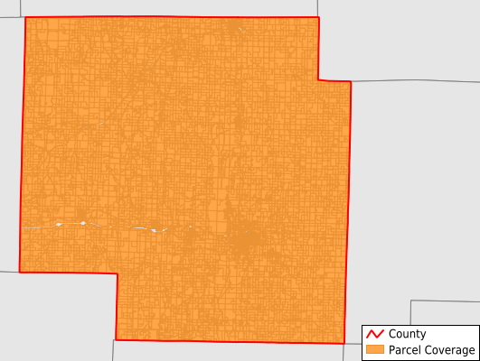
Parcels in County:
13,831
Parcel data available to download as a GDB, GeoPackage, Shapefile, Excel, CSV, or Google Earth KML file.
All purchased data comes with six months of access, including any updates, at no additional cost.
Key attribute coverage for Macon County
The percentage of Macon County parcels containing the following key attributes:
Owner: 100%
Parcel Number: 99.9%
Acreage (Calculated): 100%
Site Address: 99.7%
Mailing Address: 99.5%
All available attributes in Macon County
Parcel Number
Site Address
Owner
Transfer Date
Sale Price
Land Use Code
Land Use Class
Acreage (deeded)
Acreage (calculated)
Perimeter
Municipality
School District
Zip Code
Flood Zone
Flood Zone Subtype
Census Tract
Census Block Group
Census Block
Mail Name
Mail Address1
Mail Address2
Mail Address3
Legal Desc1
Year Built
Style
Addr Sec Unit Num
Place Gnis Code
Land Cover
Elevation
Owner Occupied
Robust Id
Usps Residential
Plss Description
Plss Township
Plss Range
Plss Section
Crop Cover
Acreage Adjacent With Sameowner
Flood Zones
Nearest Transmission Line Dist Ft
Nearest Substation Dist Ft
Derived Geom Properties
Robust Id Source
Geom Id
Municipalities Respresented in Macon County
Bevier Township: 920
Callao Township: 511
Chariton Township: 479
Drake Township: 241
Eagle Township: 463
Easley Township: 388
Hudson Township: 3,731
Independence Township: 359
Jackson Township: 280
Johnston Township: 142
La Plata Township: 1,041
Liberty Township: 363
Lingo Township: 631
Lyda Township: 614
Middle Fork Township: 381
Morrow Township: 276
Narrows Township: 421
Richland Township: 409
Round Grove Township: 384
Russell Township: 319
Ten Mile Township: 359
Valley Township: 310
Walnut Creek Township: 426
White Township: 382
Save money when you buy data in bulk
We offer discounted pricing on county and state downloads.