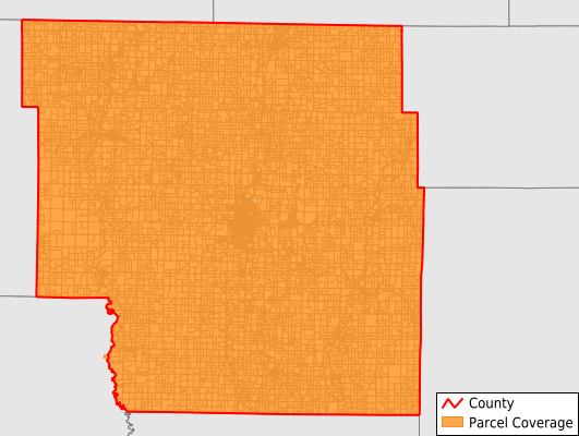
Nodaway County
Parcel Data
Price: $200.00
Last Updated:
2026-Q3
Parcels in County:
15,276
Parcel data available to download as a GDB, GeoPackage, Shapefile, Excel, CSV, or Google Earth KML file.
All purchased data comes with six months of access, including any updates, at no additional cost.
Key attribute coverage for Nodaway County
The percentage of Nodaway County parcels containing the following key attributes:
Owner: 100%
Parcel Number: 100%
Acreage (Calculated): 100%
Site Address: 100%
Mailing Address: 99.4%
All available attributes in Nodaway County
Parcel Number
Site Address
Owner
Land Use Code
Land Use Class
Acreage (deeded)
Acreage (calculated)
Perimeter
Municipality
School District
Zip Code
Flood Zone
Flood Zone Subtype
Census Tract
Census Block Group
Census Block
Total Market Value
Mail Address1
Mail Address2
Mail Address3
Legal Desc1
Year Built
Addr Sec Unit Num
Place Gnis Code
Land Cover
Elevation
Owner Occupied
Robust Id
Usps Residential
Alt Id 1
Plss Description
Plss Township
Plss Range
Plss Section
Crop Cover
Acreage Adjacent With Sameowner
Flood Zones
Nearest Transmission Line Dist Ft
Nearest Substation Dist Ft
Derived Geom Properties
Robust Id Source
Geom Id
Municipalities Respresented in Nodaway County
Atchison Township: 630
Grant Township: 652
Green Township: 446
Hopkins Township: 730
Hughes Township: 643
Independence Township: 608
Jackson Township: 895
Jefferson Township: 674
Lincoln Township: 775
Monroe Township: 547
Nodaway Township: 882
Polk Township: 6,094
Union Township: 604
Washington Township: 487
White Cloud Township: 606
Save money when you buy data in bulk
We offer discounted pricing on county and state downloads.