Last Updated:
2026-Q1
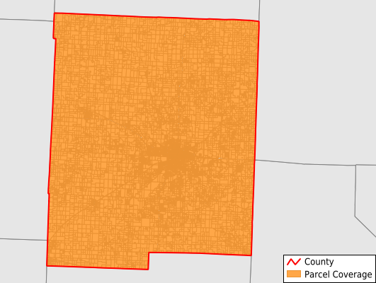
Parcels in County:
25,356
Parcel data available to download as a GDB, GeoPackage, Shapefile, Excel, CSV, or Google Earth KML file.
All purchased data comes with six months of access, including any updates, at no additional cost.
Key attribute coverage for Pettis County
The percentage of Pettis County parcels containing the following key attributes:
Owner: 99.6%
Parcel Number: 100%
Acreage (Calculated): 100%
Site Address: 99.5%
Mailing Address: 87.3%
All available attributes in Pettis County
Parcel Number
Site Address
Owner
Land Use Code
Land Use Class
Acreage (deeded)
Acreage (calculated)
Perimeter
Municipality
School District
Zip Code
Flood Zone
Flood Zone Subtype
Census Tract
Census Block Group
Census Block
Mail Address1
Mail Address2
Mail Address3
Legal Desc1
Addr Sec Unit Num
Place Gnis Code
Land Cover
Elevation
Owner Occupied
Robust Id
Usps Residential
Alt Id 1
Plss Description
Plss Township
Plss Range
Plss Section
Crop Cover
Acreage Adjacent With Sameowner
Flood Zones
Nearest Transmission Line Dist Ft
Nearest Substation Dist Ft
Derived Geom Properties
Robust Id Source
Municipalities Respresented in Pettis County
Blackwater Township: 545
Bowling Green Township: 739
Cedar Township: 741
Dresden Township: 627
Elk Fork Township: 501
Flat Creek Township: 1,365
Green Ridge Township: 900
Heath Creek Township: 670
Houstonia Township: 456
Hughesville Township: 518
Lake Creek Township: 474
La Monte Township: 922
Longwood Township: 570
Prairie Township: 1,649
Sedalia Township: 12,397
Smithton Township: 1,565
Washington Township: 717
Save money when you buy data in bulk
We offer discounted pricing on county and state downloads.