Last Updated:
2026-Q2
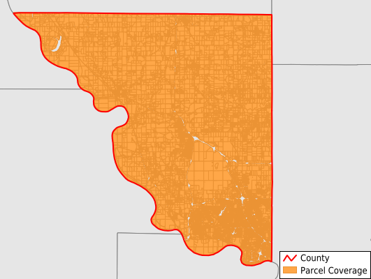
Parcels in County:
45,754
Parcel data available to download as a GDB, GeoPackage, Shapefile, Excel, CSV, or Google Earth KML file.
All purchased data comes with six months of access, including any updates, at no additional cost.
Key attribute coverage for Platte County
The percentage of Platte County parcels containing the following key attributes:
Owner: 100%
Parcel Number: 100%
Acreage (Calculated): 100%
Site Address: 82.7%
Mailing Address: 99.7%
All available attributes in Platte County
Parcel Number
Site Address
Owner
Land Use Code
Land Use Class
Acreage (deeded)
Acreage (calculated)
Perimeter
Municipality
School District
Zip Code
Flood Zone
Flood Zone Subtype
Census Tract
Census Block Group
Census Block
Mail Address1
Mail Address2
Mail Address3
Legal Desc1
Buildings
Addr Sec Unit Num
Place Gnis Code
Land Cover
Elevation
Owner Occupied
Robust Id
Usps Residential
Plss Description
Plss Township
Plss Range
Plss Section
Crop Cover
Acreage Adjacent With Sameowner
Flood Zones
Nearest Transmission Line Dist Ft
Nearest Substation Dist Ft
Derived Geom Properties
Robust Id Source
Municipalities Respresented in Platte County
Carroll Township: 8,049
Fair Township: 825
Fox Township: 4,914
Green Township: 1,547
Kickapoo Township: 3,132
Lee Township: 592
Marshall Township: 1,153
May Township: 10,464
Pawnee Township: 3,246
Pettis Township: 2,361
Preston Township: 1,205
Sioux Township: 5,352
Waldron Township: 1,226
Weston Township: 1,686
Save money when you buy data in bulk
We offer discounted pricing on county and state downloads.