Last Updated:
2026-Q3
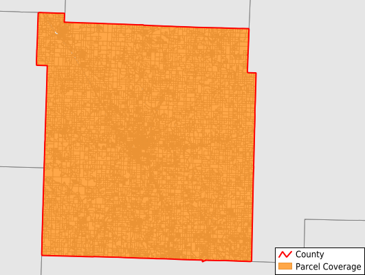
Parcels in County:
19,757
Parcel data available to download as a GDB, GeoPackage, Shapefile, Excel, CSV, or Google Earth KML file.
All purchased data comes with six months of access, including any updates, at no additional cost.
Key attribute coverage for Polk County
The percentage of Polk County parcels containing the following key attributes:
Owner: 99.9%
Parcel Number: 99.9%
Acreage (Calculated): 100%
Site Address: 100%
Mailing Address: 99.9%
All available attributes in Polk County
Parcel Number
Site Address
Owner
Transfer Date
Sale Price
Acreage (deeded)
Acreage (calculated)
Perimeter
Municipality
School District
Zip Code
Flood Zone
Flood Zone Subtype
Census Tract
Census Block Group
Census Block
Mail Name
Mail Address2
Mail Address3
Legal Desc1
Buildings
Addr Sec Unit Num
Place Gnis Code
Land Cover
Elevation
Owner Occupied
Robust Id
Usps Residential
Alt Id 1
Alt Id 2
Plss Description
Plss Township
Plss Range
Plss Section
Crop Cover
Acreage Adjacent With Sameowner
Flood Zones
Nearest Transmission Line Dist Ft
Nearest Substation Dist Ft
Derived Geom Properties
Robust Id Source
Geom Id
Municipalities Respresented in Polk County
Campbell Township: 384
Cliquot Township: 455
East Looney Township: 965
East Madison Township: 470
Flemington Township: 265
Jackson Township: 733
Jefferson Township: 717
Johnson Township: 1,167
Mckinley Township: 579
Mooney Township: 2,124
North Benton Township: 513
Northeast Marion Township: 2,369
North Green Township: 330
Northwest Marion Township: 1,857
South Benton Township: 706
Southeast Marion Township: 1,783
South Green Township: 373
Southwest Marion Township: 1,843
Union Township: 508
West Looney Township: 740
West Madison Township: 434
Wishart Township: 442
Save money when you buy data in bulk
We offer discounted pricing on county and state downloads.