Last Updated:
2026-Q3
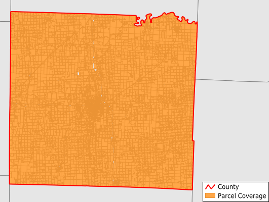
Parcels in County:
15,253
Parcel data available to download as a GDB, GeoPackage, Shapefile, Excel, CSV, or Google Earth KML file.
All purchased data comes with six months of access, including any updates, at no additional cost.
Key attribute coverage for Vernon County
The percentage of Vernon County parcels containing the following key attributes:
Owner: 100%
Parcel Number: 100%
Acreage (Calculated): 100%
Site Address: 98.2%
Mailing Address: 99.9%
All available attributes in Vernon County
Parcel Number
Site Address
Owner
Transfer Date
Sale Price
Building Size
Land Use Code
Land Use Class
Acreage (deeded)
Acreage (calculated)
Perimeter
Municipality
School District
Zip Code
Flood Zone
Flood Zone Subtype
Census Tract
Census Block Group
Census Block
Total Market Value
Mail Name
Mail Address1
Mail Address2
Mail Address3
Legal Desc1
Year Built
Style
Addr Sec Unit Num
Place Gnis Code
Land Cover
Elevation
Robust Id
Usps Residential
Plss Description
Plss Township
Plss Range
Plss Section
Crop Cover
Acreage Adjacent With Sameowner
Flood Zones
Nearest Transmission Line Dist Ft
Nearest Substation Dist Ft
Derived Geom Properties
Robust Id Source
Geom Id
Municipalities Respresented in Vernon County
Bacon Township: 712
Badger Township: 375
Blue Mound Township: 450
Center Township: 5,050
Clear Creek Township: 528
Coal Township: 321
Deerfield Township: 667
Dover Township: 516
Drywood Township: 923
Harrison Township: 444
Henry Township: 450
Lake Township: 266
Metz Township: 470
Montevallo Township: 381
Moundville Township: 717
Osage Township: 479
Richland Township: 312
Virgil Township: 442
Walker Township: 496
Washington Township: 1,254
Save money when you buy data in bulk
We offer discounted pricing on county and state downloads.