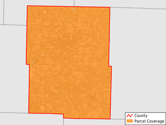
Webster County
Parcel Data
Price: $200.00
Last Updated:
2026-Q3
Parcels in County:
23,027
Parcel data available to download as a GDB, GeoPackage, Shapefile, Excel, CSV, or Google Earth KML file.
All purchased data comes with six months of access, including any updates, at no additional cost.
Key attribute coverage for Webster County
The percentage of Webster County parcels containing the following key attributes:
Owner: 100%
Parcel Number: 100%
Acreage (Calculated): 100%
Site Address: 0.6%
Mailing Address: 99.9%
All available attributes in Webster County
Parcel Number
Site Address
Owner
Acreage (deeded)
Acreage (calculated)
Perimeter
Municipality
School District
Zip Code
Census Tract
Census Block Group
Census Block
Mail Address1
Mail Address2
Mail Address3
Legal Desc1
Place Gnis Code
Land Cover
Elevation
Owner Occupied
Robust Id
Usps Residential
Plss Description
Plss Township
Plss Range
Plss Section
Crop Cover
Acreage Adjacent With Sameowner
Flood Zones
Nearest Transmission Line Dist Ft
Nearest Substation Dist Ft
Derived Geom Properties
Robust Id Source
Geom Id
Duplicate Geom Seq
Duplicate Geom Ct
Municipalities Respresented in Webster County
Finley Township: 1,601
Grant Township: 1,568
Hazelwood Township: 1,655
High Prairie Township: 886
Jackson Township: 1,037
Niangua Township: 878
Union Township: 980
Washington Township: 1,227
Dallas Township: 1,221
Diggins Township: 1,294
East Ozark Township: 1,673
Green Hill Township: 1,126
Marshfield Township: 3,607
West Ozark Township: 1,444
Benton Township: 2,830
Save money when you buy data in bulk
We offer discounted pricing on county and state downloads.