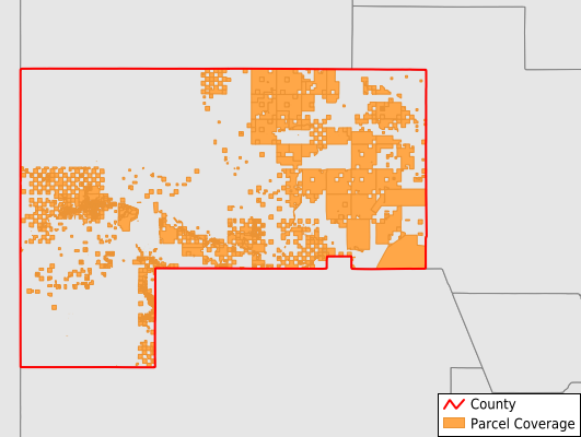
McKinley County
Parcel Data
Price: $200.00
Last Updated:
2025-Q3
Parcels in County:
12,849
Parcel data available to download as a GDB, GeoPackage, Shapefile, Excel, CSV, or Google Earth KML file.
All purchased data comes with six months of access, including any updates, at no additional cost.
Key attribute coverage for McKinley County
The percentage of McKinley County parcels containing the following key attributes:
Owner: 98.4%
Parcel Number: 96%
Acreage (Calculated): 100%
Site Address: 58.5%
Mailing Address: 98.4%
All available attributes in McKinley County
Parcel Number
Site Address
Owner
Land Use Code
Land Use Class
Acreage (calculated)
Perimeter
Municipality
School District
Zip Code
Flood Zone
Flood Zone Subtype
Census Tract
Census Block Group
Census Block
Mail Address1
Mail Address3
Legal Desc1
Addr Sec Unit Num
Place Gnis Code
Land Cover
Elevation
Owner Occupied
Robust Id
Usps Residential
Alt Id 1
Alt Id 2
Plss Description
Plss Township
Plss Range
Plss Section
Crop Cover
Acreage Adjacent With Sameowner
Flood Zones
Nearest Transmission Line Dist Ft
Nearest Substation Dist Ft
Derived Geom Properties
Municipalities Respresented in McKinley County
Crownpoint CCD: 369
Gallup CCD: 7,421
Red Rock CCD: 5,053
Navajo Nation CCD: 0
Zuni CCD: 6
Save money when you buy data in bulk
We offer discounted pricing on county and state downloads.