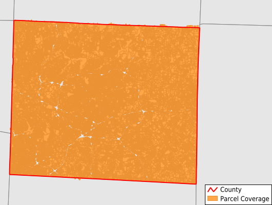
Guilford County
Parcel Data
Price: $200.00
Last Updated:
2026-Q2
Parcels in County:
222,114
Parcel data available to download as a GDB, GeoPackage, Shapefile, Excel, CSV, or Google Earth KML file.
All purchased data comes with six months of access, including any updates, at no additional cost.
Key attribute coverage for Guilford County
The percentage of Guilford County parcels containing the following key attributes:
Owner: 100%
Parcel Number: 100%
Acreage (Calculated): 100%
Site Address: 100%
Mailing Address: 100%
All available attributes in Guilford County
Parcel Number
Site Address
Owner
Transfer Date
Building Size
Neighborhood Code
Acreage (calculated)
Perimeter
Municipality
School District
Zip Code
Flood Zone
Flood Zone Subtype
Census Tract
Census Block Group
Census Block
Land Market Value
Building Market Value
Mail Address1
Mail Address3
Year Built
Bedrooms
Total Bath
Buildings
Addr Sec Unit Num
Place Gnis Code
Land Cover
Elevation
Owner Occupied
Robust Id
Usps Residential
Alt Id 1
Crop Cover
Acreage Adjacent With Sameowner
Flood Zones
Nearest Transmission Line Dist Ft
Nearest Substation Dist Ft
Derived Geom Properties
Robust Id Source
Municipalities Respresented in Guilford County
Bruce Township: 5,338
Center Grove Township: 4,312
Clay Township: 4,408
Deep River Township: 10,105
Fentress Township: 5,815
Friendship Township: 3,678
Gilmer Township: 31,761
Greene Township: 2,452
High Point Township: 34,689
Jamestown Township: 7,377
Jefferson Township: 6,378
Madison Township: 3,225
Monroe Township: 5,616
Morehead Township: 72,586
Oak Ridge Township: 7,478
Rock Creek Township: 9,790
Sumner Township: 5,013
Washington Township: 1,946
Save money when you buy data in bulk
We offer discounted pricing on county and state downloads.