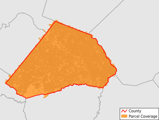
Harnett County
Parcel Data
Price: $200.00
Last Updated:
2026-Q3
Parcels in County:
85,157
Parcel data available to download as a GDB, GeoPackage, Shapefile, Excel, CSV, or Google Earth KML file.
All purchased data comes with six months of access, including any updates, at no additional cost.
Key attribute coverage for Harnett County
The percentage of Harnett County parcels containing the following key attributes:
Owner: 99.3%
Parcel Number: 100%
Acreage (Calculated): 100%
Site Address: 95.6%
Mailing Address: 99%
All available attributes in Harnett County
Parcel Number
Site Address
Owner
Transfer Date
Sale Price
Neighborhood Code
Land Use Code
Land Use Class
Zoning
Acreage (calculated)
Perimeter
Municipality
School District
Zip Code
Flood Zone
Flood Zone Subtype
Census Tract
Census Block Group
Census Block
Total Market Value
Mail Address1
Mail Address3
Legal Desc1
Buildings
Addr Sec Unit Num
Place Gnis Code
Land Cover
Elevation
Owner Occupied
Robust Id
Usps Residential
Alt Id 1
Alt Id 2
Crop Cover
Acreage Adjacent With Sameowner
Flood Zones
Nearest Transmission Line Dist Ft
Nearest Substation Dist Ft
Derived Geom Properties
Robust Id Source
Geom Id
Municipalities Respresented in Harnett County
Anderson Creek Township: 11,388
Averasboro Township: 8,686
Barbecue Township: 10,144
Black River Township: 9,856
Buckhorn Township: 2,304
Duke Township: 4,059
Grove Township: 6,715
Hectors Creek Township: 6,170
Johnsonville Township: 5,966
Lillington Township: 3,112
Neills Creek Township: 5,802
Stewarts Creek Township: 3,268
Upper Little River Township: 7,540
Save money when you buy data in bulk
We offer discounted pricing on county and state downloads.