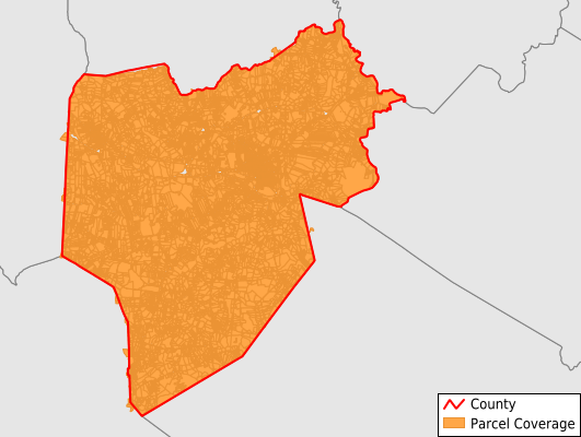
Lenoir County
Parcel Data
Price: $200.00
Last Updated:
2025-Q3
Parcels in County:
36,307
Parcel data available to download as a GDB, GeoPackage, Shapefile, Excel, CSV, or Google Earth KML file.
All purchased data comes with six months of access, including any updates, at no additional cost.
Key attribute coverage for Lenoir County
The percentage of Lenoir County parcels containing the following key attributes:
Owner: 99%
Parcel Number: 100%
Acreage (Calculated): 100%
Site Address: 98.9%
Mailing Address: 100%
All available attributes in Lenoir County
Parcel Number
Site Address
Owner
Acreage (deeded)
Acreage (calculated)
Perimeter
Municipality
School District
Zip Code
Flood Zone
Flood Zone Subtype
Census Tract
Census Block Group
Census Block
Land Market Value
Mail Address1
Mail Address3
Legal Desc1
Buildings
Addr Sec Unit Num
Place Gnis Code
Land Cover
Elevation
Owner Occupied
Robust Id
Usps Residential
Alt Id 1
Crop Cover
Acreage Adjacent With Sameowner
Flood Zones
Nearest Transmission Line Dist Ft
Nearest Substation Dist Ft
Derived Geom Properties
Municipalities Respresented in Lenoir County
Contentnea Neck Township: 2,515
Falling Creek Township: 3,170
Institute Township: 1,601
Kinston Township: 11,360
Moseley Hall Township: 3,827
Neuse Township: 3,526
Pink Hill Township: 2,200
Sand Hill Township: 902
Southwest Township: 1,047
Trent Township: 2,469
Vance Township: 2,168
Woodington Township: 1,463
Save money when you buy data in bulk
We offer discounted pricing on county and state downloads.