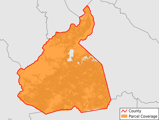
McDowell County
Parcel Data
Price: $200.00
Last Updated:
2026-Q3
Parcels in County:
33,482
Parcel data available to download as a GDB, GeoPackage, Shapefile, Excel, CSV, or Google Earth KML file.
All purchased data comes with six months of access, including any updates, at no additional cost.
Key attribute coverage for McDowell County
The percentage of McDowell County parcels containing the following key attributes:
Owner: 99.4%
Parcel Number: 100%
Acreage (Calculated): 100%
Site Address: 91%
Mailing Address: 99.2%
All available attributes in McDowell County
Parcel Number
Site Address
Owner
Transfer Date
Acreage (deeded)
Acreage (calculated)
Perimeter
Municipality
School District
Zip Code
Flood Zone
Flood Zone Subtype
Census Tract
Census Block Group
Census Block
Total Market Value
Land Market Value
Building Market Value
Map Book
Map Page
Coowner
Mail Address1
Mail Address2
Mail Address3
Legal Desc1
Buildings
Addr Sec Unit Num
Place Gnis Code
Land Cover
Elevation
Owner Occupied
Robust Id
Usps Residential
Alt Id 1
Alt Id 2
Crop Cover
Acreage Adjacent With Sameowner
Flood Zones
Nearest Transmission Line Dist Ft
Nearest Substation Dist Ft
Derived Geom Properties
Robust Id Source
Geom Id
Municipalities Respresented in McDowell County
Brackett Township: 577
Crooked Creek Township: 3,460
Dysartsville Township: 2,961
Glenwood Township: 1,407
Higgins Township: 1,252
Marion Township: 11,612
Montford Cove Township: 2,134
Nebo Township: 3,625
North Cove Township: 3,171
Old Fort Township: 3,209
Save money when you buy data in bulk
We offer discounted pricing on county and state downloads.