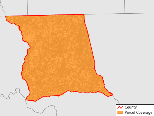
Montgomery County
Parcel Data
Price: $200.00
Last Updated:
2026-Q3
Parcels in County:
30,311
Parcel data available to download as a GDB, GeoPackage, Shapefile, Excel, CSV, or Google Earth KML file.
All purchased data comes with six months of access, including any updates, at no additional cost.
Key attribute coverage for Montgomery County
The percentage of Montgomery County parcels containing the following key attributes:
Owner: 99.6%
Parcel Number: 99.6%
Acreage (Calculated): 100%
Site Address: 99.4%
Mailing Address: 99.1%
All available attributes in Montgomery County
Parcel Number
Site Address
Owner
Transfer Date
Sale Price
Building Size
Land Use Code
Land Use Class
Acreage (deeded)
Acreage (calculated)
Perimeter
Municipality
School District
Zip Code
Flood Zone
Flood Zone Subtype
Census Tract
Census Block Group
Census Block
Mail Address1
Mail Address2
Mail Address3
Legal Desc1
Legal Desc2
Legal Desc3
Year Built
Bedrooms
Total Bath
Buildings
Addr Sec Unit Num
Place Gnis Code
Land Cover
Elevation
Owner Occupied
Robust Id
Usps Residential
Alt Id 1
Alt Id 2
Crop Cover
Acreage Adjacent With Sameowner
Flood Zones
Nearest Transmission Line Dist Ft
Nearest Substation Dist Ft
Derived Geom Properties
Robust Id Source
Geom Id
Duplicate Geom Seq
Duplicate Geom Ct
Municipalities Respresented in Montgomery County
Biscoe Township: 3,713
Cheek Creek Township: 830
Eldorado Township: 5,354
Little River Township: 830
Mount Gilead Township: 3,032
Ophir Township: 743
Pee Dee Township: 3,702
Rocky Springs Township: 1,745
Star Township: 2,241
Troy Township: 4,106
Uwharrie Township: 3,998
Save money when you buy data in bulk
We offer discounted pricing on county and state downloads.