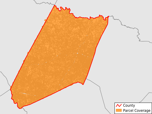
Nash County
Parcel Data
Price: $200.00
Last Updated:
2026-Q3
Parcels in County:
55,845
Parcel data available to download as a GDB, GeoPackage, Shapefile, Excel, CSV, or Google Earth KML file.
All purchased data comes with six months of access, including any updates, at no additional cost.
Key attribute coverage for Nash County
The percentage of Nash County parcels containing the following key attributes:
Owner: 99.8%
Parcel Number: 100%
Acreage (Calculated): 100%
Site Address: 82.2%
Mailing Address: 99.2%
All available attributes in Nash County
Parcel Number
Site Address
Owner
Transfer Date
Sale Price
Building Size
Neighborhood Code
Land Use Code
Land Use Class
Acreage (deeded)
Acreage (calculated)
Perimeter
Municipality
School District
Zip Code
Flood Zone
Flood Zone Subtype
Census Tract
Census Block Group
Census Block
Land Market Value
Story Height
Mail Address1
Mail Address2
Mail Address3
Legal Desc1
Legal Desc2
Legal Desc3
Year Built
Heatsrc
Style
Total Rooms
Bedrooms
Fullbath
Halfbath
Buildings
Place Gnis Code
Land Cover
Elevation
Owner Occupied
Robust Id
Usps Residential
Alt Id 1
Alt Id 2
Crop Cover
Acreage Adjacent With Sameowner
Flood Zones
Nearest Transmission Line Dist Ft
Nearest Substation Dist Ft
Derived Geom Properties
Robust Id Source
Geom Id
Municipalities Respresented in Nash County
Bailey Township: 3,325
Castalia Township: 1,673
Coopers Township: 2,475
Dry Wells Township: 2,916
Ferrells Township: 2,089
Griffins Township: 2,064
Jackson Township: 1,940
Mannings Township: 4,468
Nashville Township: 5,365
North Whitakers Township: 1,802
Oak Level Township: 3,154
Red Oak Township: 2,168
Rocky Mount Township: 8,632
South Whitakers Township: 1,933
Stony Creek Township: 11,772
Save money when you buy data in bulk
We offer discounted pricing on county and state downloads.