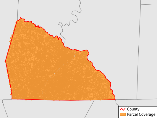
Rowan County
Parcel Data
Price: $200.00
Last Updated:
2026-Q3
Parcels in County:
83,495
Parcel data available to download as a GDB, GeoPackage, Shapefile, Excel, CSV, or Google Earth KML file.
All purchased data comes with six months of access, including any updates, at no additional cost.
Key attribute coverage for Rowan County
The percentage of Rowan County parcels containing the following key attributes:
Owner: 99.8%
Parcel Number: 100%
Acreage (Calculated): 100%
Site Address: 99.8%
Mailing Address: 99.8%
All available attributes in Rowan County
Parcel Number
Site Address
Owner
Transfer Date
Sale Price
Neighborhood Code
Acreage (deeded)
Acreage (calculated)
Perimeter
Municipality
School District
Zip Code
Flood Zone
Flood Zone Subtype
Census Tract
Census Block Group
Census Block
Total Market Value
Coowner
Mail Address1
Mail Address2
Mail Address3
Legal Desc1
Buildings
Place Gnis Code
Land Cover
Elevation
Owner Occupied
Robust Id
Usps Residential
Alt Id 1
Crop Cover
Acreage Adjacent With Sameowner
Flood Zones
Nearest Transmission Line Dist Ft
Nearest Substation Dist Ft
Derived Geom Properties
Robust Id Source
Geom Id
Duplicate Geom Seq
Duplicate Geom Ct
Municipalities Respresented in Rowan County
Atwell Township: 7,722
China Grove Township: 14,809
Cleveland Township: 2,011
Franklin Township: 7,941
Gold Hill Township: 6,203
Litaker Township: 6,965
Locke Township: 6,513
Morgan Township: 3,417
Mount Ulla Township: 1,576
Providence Township: 6,804
Salisbury Township: 15,042
Scotch Irish Township: 1,418
Steele Township: 1,254
Unity Township: 1,789
Save money when you buy data in bulk
We offer discounted pricing on county and state downloads.