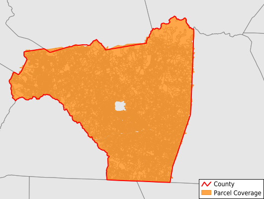
Rutherford County
Parcel Data
Price: $200.00
Last Updated:
2026-Q3
Parcels in County:
57,756
Parcel data available to download as a GDB, GeoPackage, Shapefile, Excel, CSV, or Google Earth KML file.
All purchased data comes with six months of access, including any updates, at no additional cost.
Key attribute coverage for Rutherford County
The percentage of Rutherford County parcels containing the following key attributes:
Owner: 100%
Parcel Number: 100%
Acreage (Calculated): 100%
Site Address: 99.6%
Mailing Address: 99.6%
All available attributes in Rutherford County
Parcel Number
Site Address
Owner
Transfer Date
Sale Price
Building Size
Land Use Code
Land Use Class
Zoning
Acreage (deeded)
Acreage (calculated)
Perimeter
Municipality
School District
Zip Code
Flood Zone
Flood Zone Subtype
Census Tract
Census Block Group
Census Block
Total Market Value
Land Market Value
Building Market Value
Map Book
Map Page
Mail Address1
Mail Address3
Legal Desc1
Buildings
Addr Sec Unit Num
Place Gnis Code
Land Cover
Elevation
Owner Occupied
Robust Id
Usps Residential
Alt Id 1
Alt Id 2
Crop Cover
Acreage Adjacent With Sameowner
Flood Zones
Nearest Transmission Line Dist Ft
Nearest Substation Dist Ft
Derived Geom Properties
Robust Id Source
Geom Id
Municipalities Respresented in Rutherford County
Camp Creek Township: 1,396
Chimney Rock Township: 10,409
Colfax Township: 5,519
Cool Spring Township: 9,234
Duncans Creek Township: 916
Gilkey Township: 1,960
Golden Valley Township: 1,649
Green Hill Township: 2,571
Logan Store Township: 3,025
Morgan Township: 1,999
Rutherfordton Township: 8,474
Sulphur Springs Township: 3,423
Union Township: 1,657
High Shoals Township: 5,482
Save money when you buy data in bulk
We offer discounted pricing on county and state downloads.