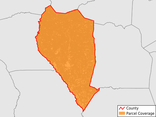
Sampson County
Parcel Data
Price: $200.00
Last Updated:
2026-Q3
Parcels in County:
50,394
Parcel data available to download as a GDB, GeoPackage, Shapefile, Excel, CSV, or Google Earth KML file.
All purchased data comes with six months of access, including any updates, at no additional cost.
Key attribute coverage for Sampson County
The percentage of Sampson County parcels containing the following key attributes:
Owner: 98.5%
Parcel Number: 99.7%
Acreage (Calculated): 100%
Site Address: 97.6%
Mailing Address: 98.5%
All available attributes in Sampson County
Parcel Number
Site Address
Owner
Transfer Date
Sale Price
Building Size
Land Use Code
Land Use Class
Acreage (deeded)
Acreage (calculated)
Perimeter
Municipality
School District
Zip Code
Flood Zone
Flood Zone Subtype
Census Tract
Census Block Group
Census Block
Total Market Value
Story Height
Map Page
Mail Address1
Mail Address3
Year Built
Style
Total Rooms
Bedrooms
Fullbath
Halfbath
Buildings
Addr Sec Unit Num
Place Gnis Code
Land Cover
Elevation
Owner Occupied
Robust Id
Usps Residential
Alt Id 1
Alt Id 2
Crop Cover
Acreage Adjacent With Sameowner
Flood Zones
Nearest Transmission Line Dist Ft
Nearest Substation Dist Ft
Derived Geom Properties
Robust Id Source
Geom Id
Duplicate Geom Seq
Duplicate Geom Ct
Municipalities Respresented in Sampson County
Belvoir Township: 1,628
Dismal Township: 3,104
Franklin Township: 2,571
Halls Township: 2,130
Herring Township: 1,761
Honeycutt Township: 2,814
Lisbon Township: 1,517
Little Coharie Township: 5,184
Mcdaniels Township: 1,370
Mingo Township: 2,096
Newton Grove Township: 1,933
North Clinton Township: 7,125
Piney Grove Township: 2,356
Plain View Township: 3,414
South Clinton Township: 4,256
South River Township: 2,072
Taylors Bridge Township: 1,650
Turkey Township: 1,805
Westbrook Township: 1,565
Save money when you buy data in bulk
We offer discounted pricing on county and state downloads.