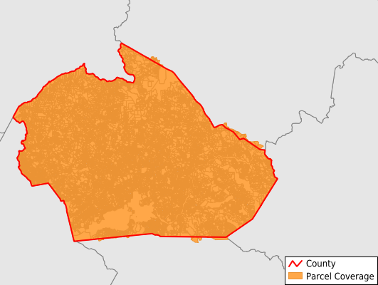
Watauga County
Parcel Data
Price: $200.00
Last Updated:
2026-Q3
Parcels in County:
47,383
Parcel data available to download as a GDB, GeoPackage, Shapefile, Excel, CSV, or Google Earth KML file.
All purchased data comes with six months of access, including any updates, at no additional cost.
Key attribute coverage for Watauga County
The percentage of Watauga County parcels containing the following key attributes:
Owner: 98.9%
Parcel Number: 99.3%
Acreage (Calculated): 100%
Site Address: 62.4%
Mailing Address: 98.9%
All available attributes in Watauga County
Parcel Number
Site Address
Owner
Sale Price
Neighborhood Code
Land Use Code
Land Use Class
Acreage (deeded)
Acreage (calculated)
Perimeter
Municipality
School District
Zip Code
Flood Zone
Flood Zone Subtype
Census Tract
Census Block Group
Census Block
Total Market Value
Land Market Value
Building Market Value
Mail Address1
Mail Address2
Mail Address3
Legal Desc1
Year Built
Water
Buildings
Addr Sec Unit Num
Place Gnis Code
Land Cover
Elevation
Owner Occupied
Robust Id
Usps Residential
Alt Id 1
Alt Id 2
Crop Cover
Acreage Adjacent With Sameowner
Flood Zones
Nearest Transmission Line Dist Ft
Nearest Substation Dist Ft
Derived Geom Properties
Robust Id Source
Geom Id
Duplicate Geom Seq
Duplicate Geom Ct
Municipalities Respresented in Watauga County
Bald Mountain Township: 915
Beaverdam Township: 1,632
Blowing Rock Township: 5,033
Blue Ridge Township: 4,287
Boone Township: 1,427
Brushy Fork Township: 2,835
Cove Creek Township: 2,806
Elk Township: 1,828
Laurel Creek Township: 6,437
Meat Camp Township: 2,863
New River Township: 6,701
North Fork Township: 386
Shawneehaw Township: 1,359
Stony Fork Township: 2,519
Watauga Township: 6,290
Save money when you buy data in bulk
We offer discounted pricing on county and state downloads.