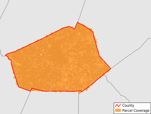
Wilson County
Parcel Data
Price: $200.00
Last Updated:
2026-Q3
Parcels in County:
43,377
Parcel data available to download as a GDB, GeoPackage, Shapefile, Excel, CSV, or Google Earth KML file.
All purchased data comes with six months of access, including any updates, at no additional cost.
Key attribute coverage for Wilson County
The percentage of Wilson County parcels containing the following key attributes:
Owner: 99%
Parcel Number: 99.9%
Acreage (Calculated): 100%
Site Address: 99%
Mailing Address: 98.9%
All available attributes in Wilson County
Parcel Number
Site Address
Owner
Transfer Date
Sale Price
Building Size
Land Use Code
Land Use Class
Acreage (deeded)
Acreage (calculated)
Perimeter
Municipality
School District
Zip Code
Flood Zone
Flood Zone Subtype
Census Tract
Census Block Group
Census Block
Total Market Value
Land Market Value
Building Market Value
Coowner
Mail Address1
Mail Address3
Legal Desc1
Legal Desc2
Legal Desc3
Year Built
Bedrooms
Basement
Buildings
Place Gnis Code
Land Cover
Elevation
Owner Occupied
Robust Id
Usps Residential
Crop Cover
Acreage Adjacent With Sameowner
Flood Zones
Nearest Transmission Line Dist Ft
Nearest Substation Dist Ft
Derived Geom Properties
Robust Id Source
Geom Id
Duplicate Geom Seq
Duplicate Geom Ct
Municipalities Respresented in Wilson County
Black Creek Township: 2,676
Cross Roads Township: 2,402
Gardners Township: 2,244
Old Fields Township: 4,243
Saratoga Township: 1,413
Springhill Township: 2,415
Stantonsburg Township: 1,432
Taylors Township: 4,396
Toisnot Township: 3,472
Wilson Township: 18,610
Save money when you buy data in bulk
We offer discounted pricing on county and state downloads.