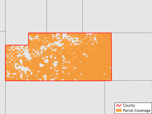
Slope County
Parcel Data
Price: $200.00
Last Updated:
2026-Q1
Parcels in County:
3,108
Parcel data available to download as a GDB, GeoPackage, Shapefile, Excel, CSV, or Google Earth KML file.
All purchased data comes with six months of access, including any updates, at no additional cost.
Key attribute coverage for Slope County
The percentage of Slope County parcels containing the following key attributes:
Owner: 99.4%
Parcel Number: 100%
Acreage (Calculated): 100%
Site Address: 11.2%
Mailing Address: 97.2%
All available attributes in Slope County
Parcel Number
Site Address
Owner
Acreage (deeded)
Acreage (calculated)
Perimeter
Municipality
School District
Zip Code
Census Block
Total Market Value
Mail Address1
Mail Address3
Legal Desc1
Place Gnis Code
Land Cover
Elevation
Owner Occupied
Robust Id
Usps Residential
Alt Id 1
Plss Description
Plss Township
Plss Range
Plss Section
Crop Cover
Acreage Adjacent With Sameowner
Nearest Transmission Line Dist Ft
Nearest Substation Dist Ft
Derived Geom Properties
Robust Id Source
Municipalities Respresented in Slope County
Amidon City: 0
Deep Creek UT: 88
Northeast Slope UT: 222
Marmarth City: 21
Northwest Slope UT: 291
West Slope UT: 144
Hughes Township: 56
Crawford Township: 99
Mound Township: 93
Harper Township: 86
Rainy Butte Township: 151
Moord Township: 108
White Lake Township: 106
Sand Creek Township: 171
Richland Center Township: 52
Bucklin Township: 83
Peaceful Valley Township: 89
Cash Township: 98
Carroll Township: 131
Cedar Creek Township: 146
Connor Township: 140
Hume Township: 155
Mineral Springs Township: 125
Sheets Township: 155
Woodberry Township: 146
Central Slope UT: 152
Save money when you buy data in bulk
We offer discounted pricing on county and state downloads.