Last Updated:
2025-Q4
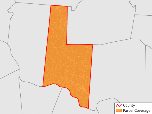
Parcels in County:
37,808
Parcel data available to download as a GDB, GeoPackage, Shapefile, Excel, CSV, or Google Earth KML file.
All purchased data comes with six months of access, including any updates, at no additional cost.
Key attribute coverage for Brown County
The percentage of Brown County parcels containing the following key attributes:
Owner: 94.8%
Parcel Number: 100%
Acreage (Calculated): 100%
Site Address: 94.5%
Mailing Address: 94.1%
All available attributes in Brown County
Parcel Number
Site Address
Owner
Sale Price
Land Use Code
Land Use Class
Acreage (calculated)
Perimeter
Municipality
School District
Zip Code
Flood Zone
Flood Zone Subtype
Census Tract
Census Block Group
Census Block
Mail Name
Mail Address1
Mail Address3
Legal Desc1
Addr Sec Unit Num
Place Gnis Code
Land Cover
Elevation
Owner Occupied
Robust Id
Usps Residential
Alt Id 1
Crop Cover
Acreage Adjacent With Sameowner
Flood Zones
Nearest Transmission Line Dist Ft
Nearest Substation Dist Ft
Derived Geom Properties
Municipalities Respresented in Brown County
Byrd Township: 724
Clark Township: 2,181
Eagle Township: 1,203
Franklin Township: 2,725
Green Township: 2,115
Huntington Township: 2,208
Jackson Township: 3,085
Jefferson Township: 1,360
Lewis Township: 2,107
Perry Township: 4,422
Pike Township: 2,840
Pleasant Township: 3,966
Scott Township: 1,058
Sterling Township: 2,885
Union Township: 3,043
Washington Township: 1,853
Save money when you buy data in bulk
We offer discounted pricing on county and state downloads.