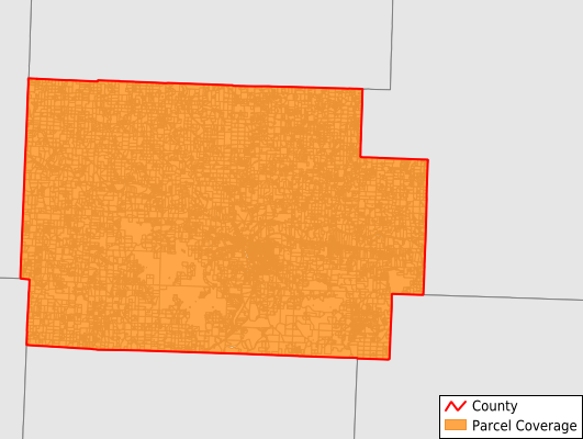
Coshocton County
Parcel Data
Price: $200.00
Last Updated:
2025-Q3
Parcels in County:
27,822
Parcel data available to download as a GDB, GeoPackage, Shapefile, Excel, CSV, or Google Earth KML file.
All purchased data comes with six months of access, including any updates, at no additional cost.
Key attribute coverage for Coshocton County
The percentage of Coshocton County parcels containing the following key attributes:
Owner: 99.9%
Parcel Number: 99.9%
Acreage (Calculated): 100%
Site Address: 99.3%
Mailing Address: 99.3%
All available attributes in Coshocton County
Parcel Number
Site Address
Owner
Transfer Date
Sale Price
Acreage (deeded)
Acreage (calculated)
Perimeter
Municipality
School District
Zip Code
Flood Zone
Flood Zone Subtype
Census Tract
Census Block Group
Census Block
Total Market Value
Land Market Value
Building Market Value
Mail Address1
Mail Address3
Legal Desc1
Addr Sec Unit Num
Place Gnis Code
Land Cover
Elevation
Owner Occupied
Robust Id
Usps Residential
Alt Id 1
Plss Description
Plss Township
Plss Range
Crop Cover
Acreage Adjacent With Sameowner
Flood Zones
Nearest Transmission Line Dist Ft
Nearest Substation Dist Ft
Derived Geom Properties
Municipalities Respresented in Coshocton County
Adams Township: 727
Bedford Township: 625
Bethlehem Township: 860
Clark Township: 639
Coshocton City: 6,790
Crawford Township: 1,036
Franklin Township: 1,011
Jackson Township: 1,385
Jefferson Township: 1,323
Keene Township: 1,262
Lafayette Township: 2,588
Linton Township: 789
Mill Creek Township: 660
Monroe Township: 654
Newcastle Township: 627
Oxford Township: 1,376
Perry Township: 687
Pike Township: 590
Tiverton Township: 568
Tuscarawas Township: 1,419
Virginia Township: 536
Washington Township: 664
White Eyes Township: 1,006
Save money when you buy data in bulk
We offer discounted pricing on county and state downloads.