Last Updated:
2026-Q3
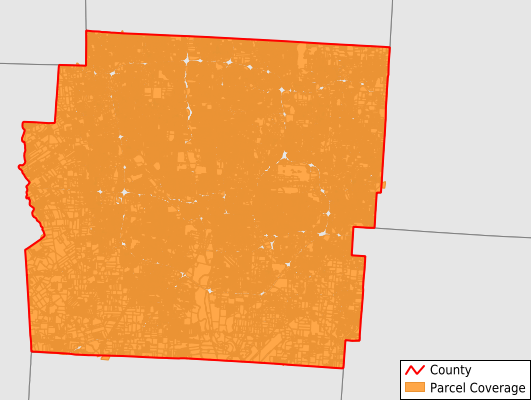
Parcels in County:
494,209
Parcel data available to download as a GDB, GeoPackage, Shapefile, Excel, CSV, or Google Earth KML file.
All purchased data comes with six months of access, including any updates, at no additional cost.
Key attribute coverage for Franklin County
The percentage of Franklin County parcels containing the following key attributes:
Owner: 99.7%
Parcel Number: 100%
Acreage (Calculated): 100%
Site Address: 99.3%
Mailing Address: 93.6%
All available attributes in Franklin County
Parcel Number
Site Address
Owner
Transfer Date
Sale Price
Building Size
Land Use Code
Land Use Class
Acreage (calculated)
Perimeter
Municipality
School District
Zip Code
Flood Zone
Flood Zone Subtype
Census Tract
Census Block Group
Census Block
Land Market Value
Building Market Value
Mail Address1
Mail Address3
Year Built
Bedrooms
Fullbath
Halfbath
Buildings
Addr Sec Unit Num
Place Gnis Code
Land Cover
Elevation
Owner Occupied
Robust Id
Usps Residential
Alt Id 1
Plss Description
Plss Township
Plss Range
Crop Cover
Acreage Adjacent With Sameowner
Flood Zones
Nearest Transmission Line Dist Ft
Nearest Substation Dist Ft
Derived Geom Properties
Robust Id Source
Geom Id
Duplicate Geom Seq
Duplicate Geom Ct
Municipalities Respresented in Franklin County
Bexley City: 4,807
Blendon Township: 5,388
Brown Township: 2,399
Clinton Township: 1,942
Columbus City: 314,515
Franklin Township: 5,131
Grandview Heights City: 3,119
Hamilton Township: 4,417
Jackson Township: 20,805
Jefferson Township: 6,806
Madison Township: 11,774
Mifflin Township: 15,220
Norwich Township: 14,305
Perry Township: 1,607
Plain Township: 5,920
Pleasant Township: 3,311
Prairie Township: 7,236
Sharon Township: 7,900
Truro Township: 9,972
Upper Arlington City: 14,019
Washington Township: 15,773
Westerville City: 11,522
Whitehall City: 6,013
Marble Cliff Village: 294
Save money when you buy data in bulk
We offer discounted pricing on county and state downloads.