Last Updated:
2026-Q3
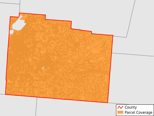
Parcels in County:
77,623
Parcel data available to download as a GDB, GeoPackage, Shapefile, Excel, CSV, or Google Earth KML file.
All purchased data comes with six months of access, including any updates, at no additional cost.
Key attribute coverage for Greene County
The percentage of Greene County parcels containing the following key attributes:
Owner: 99.8%
Parcel Number: 100%
Acreage (Calculated): 100%
Site Address: 99.8%
Mailing Address: 99.8%
All available attributes in Greene County
Parcel Number
Site Address
Owner
Transfer Date
Sale Price
Building Size
Neighborhood Code
Land Use Code
Land Use Class
Acreage (deeded)
Acreage (calculated)
Perimeter
Municipality
School District
Zip Code
Flood Zone
Flood Zone Subtype
Census Tract
Census Block Group
Census Block
Total Market Value
Land Market Value
Building Market Value
Story Height
Map Book
Mail Name
Mail Address1
Mail Address3
Legal Desc1
Year Built
Style
Bedrooms
Fullbath
Halfbath
Buildings
Addr Sec Unit Num
Place Gnis Code
Land Cover
Elevation
Owner Occupied
Robust Id
Usps Residential
Alt Id 1
Plss Description
Plss Township
Plss Range
Crop Cover
Acreage Adjacent With Sameowner
Flood Zones
Nearest Transmission Line Dist Ft
Nearest Substation Dist Ft
Derived Geom Properties
Robust Id Source
Geom Id
Municipalities Respresented in Greene County
Bath Township: 15,721
Beavercreek Township: 24,129
Caesarscreek Township: 881
Cedarville Township: 2,000
Dayton City: 0
Jefferson Township: 1,025
Miami Township: 3,463
New Jasper Township: 1,526
Ross Township: 630
Silvercreek Township: 2,454
Spring Valley Township: 1,781
Sugarcreek Township: 4,514
Xenia City: 12,771
Xenia Township: 3,347
Kettering City: 288
Bellbrook City: 3,086
Save money when you buy data in bulk
We offer discounted pricing on county and state downloads.