Last Updated:
2026-Q1
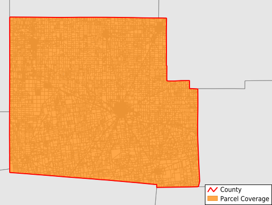
Parcels in County:
26,163
Parcel data available to download as a GDB, GeoPackage, Shapefile, Excel, CSV, or Google Earth KML file.
All purchased data comes with six months of access, including any updates, at no additional cost.
Key attribute coverage for Hardin County
The percentage of Hardin County parcels containing the following key attributes:
Owner: 76.6%
Parcel Number: 100%
Acreage (Calculated): 100%
Site Address: 76.8%
Mailing Address: 100%
All available attributes in Hardin County
Parcel Number
Site Address
Owner
Neighborhood Code
Land Use Code
Land Use Class
Acreage (deeded)
Acreage (calculated)
Perimeter
Municipality
School District
Zip Code
Flood Zone
Flood Zone Subtype
Census Tract
Census Block Group
Census Block
Mail Name
Mail Address1
Mail Address2
Mail Address3
Legal Desc1
Legal Desc2
Legal Desc3
Buildings
Addr Sec Unit Num
Place Gnis Code
Land Cover
Elevation
Owner Occupied
Robust Id
Usps Residential
Plss Description
Plss Township
Plss Range
Crop Cover
Acreage Adjacent With Sameowner
Flood Zones
Nearest Transmission Line Dist Ft
Nearest Substation Dist Ft
Derived Geom Properties
Robust Id Source
Municipalities Respresented in Hardin County
Blanchard Township: 1,679
Buck Township: 2,183
Cessna Township: 596
Dudley Township: 1,289
Goshen Township: 689
Hale Township: 1,596
Jackson Township: 2,153
Liberty Township: 3,643
Lynn Township: 751
Mcdonald Township: 1,102
Marion Township: 2,224
Pleasant Township: 5,684
Roundhead Township: 892
Taylor Creek Township: 633
Washington Township: 1,049
Save money when you buy data in bulk
We offer discounted pricing on county and state downloads.