Last Updated:
2026-Q3
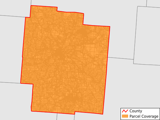
Parcels in County:
32,608
Parcel data available to download as a GDB, GeoPackage, Shapefile, Excel, CSV, or Google Earth KML file.
All purchased data comes with six months of access, including any updates, at no additional cost.
Key attribute coverage for Jackson County
The percentage of Jackson County parcels containing the following key attributes:
Owner: 93.7%
Parcel Number: 93.7%
Acreage (Calculated): 100%
Site Address: 93.4%
Mailing Address: 93.6%
All available attributes in Jackson County
Parcel Number
Site Address
Owner
Transfer Date
Sale Price
Neighborhood Code
Land Use Code
Acreage (deeded)
Acreage (calculated)
Perimeter
Municipality
School District
Zip Code
Flood Zone
Flood Zone Subtype
Census Tract
Census Block Group
Census Block
Total Market Value
Land Market Value
Building Market Value
Mail Address1
Mail Address3
Legal Desc1
Legal Desc2
Style
Condition
Addr Sec Unit Num
Place Gnis Code
Land Cover
Elevation
Owner Occupied
Robust Id
Usps Residential
Plss Description
Plss Township
Plss Range
Crop Cover
Acreage Adjacent With Sameowner
Flood Zones
Nearest Transmission Line Dist Ft
Nearest Substation Dist Ft
Derived Geom Properties
Robust Id Source
Geom Id
Duplicate Geom Seq
Duplicate Geom Ct
Municipalities Respresented in Jackson County
Bloomfield Township: 1,487
Coal Township: 2,175
Franklin Township: 1,946
Hamilton Township: 855
Jackson Township: 1,740
Jefferson Township: 3,319
Liberty Township: 2,073
Lick Township: 2,199
Madison Township: 2,368
Milton Township: 1,711
Scioto Township: 1,968
Washington Township: 1,093
Wellston City: 4,770
Jackson City: 4,893
Save money when you buy data in bulk
We offer discounted pricing on county and state downloads.