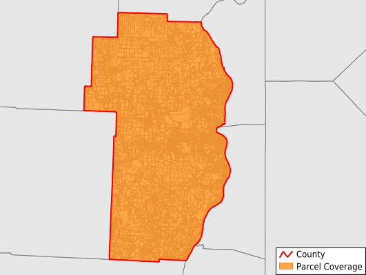
Jefferson County
Parcel Data
Price: $250.00
Last Updated:
2025-Q4
Parcels in County:
58,410
Parcel data available to download as a GDB, GeoPackage, Shapefile, Excel, CSV, or Google Earth KML file.
All purchased data comes with six months of access, including any updates, at no additional cost.
Key attribute coverage for Jefferson County
The percentage of Jefferson County parcels containing the following key attributes:
Owner: 97.1%
Parcel Number: 97.7%
Acreage (Calculated): 100%
Site Address: 95.9%
Mailing Address: 94.4%
All available attributes in Jefferson County
Parcel Number
Site Address
Owner
Transfer Date
Sale Price
Neighborhood Code
Land Use Code
Land Use Class
Acreage (deeded)
Acreage (calculated)
Perimeter
Municipality
School District
Zip Code
Flood Zone
Flood Zone Subtype
Census Tract
Census Block Group
Census Block
Land Market Value
Building Market Value
Mail Address1
Mail Address3
Legal Desc1
Legal Desc2
Legal Desc3
Year Built
Bedrooms
Fullbath
Addr Sec Unit Num
Place Gnis Code
Land Cover
Elevation
Owner Occupied
Robust Id
Usps Residential
Plss Description
Plss Township
Plss Range
Crop Cover
Acreage Adjacent With Sameowner
Flood Zones
Nearest Transmission Line Dist Ft
Nearest Substation Dist Ft
Derived Geom Properties
Municipalities Respresented in Jefferson County
Brush Creek Township: 526
Cross Creek Township: 5,908
Island Creek Township: 7,975
Knox Township: 3,603
Mount Pleasant Township: 2,755
Ross Township: 666
Salem Township: 2,712
Saline Township: 1,504
Smithfield Township: 3,729
Springfield Township: 2,330
Steubenville City: 13,355
Steubenville Township: 4,050
Warren Township: 4,521
Wayne Township: 2,217
Wells Township: 2,532
Save money when you buy data in bulk
We offer discounted pricing on county and state downloads.