Last Updated:
2025-Q4
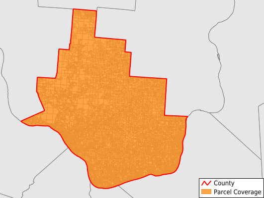
Parcels in County:
56,101
Parcel data available to download as a GDB, GeoPackage, Shapefile, Excel, CSV, or Google Earth KML file.
All purchased data comes with six months of access, including any updates, at no additional cost.
Key attribute coverage for Lawrence County
The percentage of Lawrence County parcels containing the following key attributes:
Owner: 95.8%
Parcel Number: 95.8%
Acreage (Calculated): 100%
Site Address: 79.1%
Mailing Address: 94.7%
All available attributes in Lawrence County
Parcel Number
Site Address
Owner
Transfer Date
Sale Price
Neighborhood Code
Land Use Code
Land Use Class
Zoning
Acreage (deeded)
Acreage (calculated)
Perimeter
Municipality
School District
Zip Code
Flood Zone
Flood Zone Subtype
Census Tract
Census Block Group
Census Block
Total Market Value
Land Market Value
Building Market Value
Mail Address1
Mail Address3
Legal Desc1
Lender
Addr Sec Unit Num
Place Gnis Code
Land Cover
Elevation
Robust Id
Usps Residential
Plss Description
Plss Township
Plss Range
Crop Cover
Acreage Adjacent With Sameowner
Flood Zones
Nearest Transmission Line Dist Ft
Nearest Substation Dist Ft
Derived Geom Properties
Municipalities Respresented in Lawrence County
Aid Township: 1,277
Decatur Township: 806
Elizabeth Township: 2,436
Fayette Township: 7,200
Hamilton Township: 1,883
Lawrence Township: 2,439
Mason Township: 1,440
Perry Township: 5,231
Rome Township: 7,862
Symmes Township: 1,025
Union Township: 9,215
Upper Township: 12,254
Washington Township: 476
Windsor Township: 2,546
Save money when you buy data in bulk
We offer discounted pricing on county and state downloads.