Last Updated:
2025-Q4
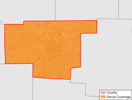
Parcels in County:
35,114
Parcel data available to download as a GDB, GeoPackage, Shapefile, Excel, CSV, or Google Earth KML file.
All purchased data comes with six months of access, including any updates, at no additional cost.
Key attribute coverage for Marion County
The percentage of Marion County parcels containing the following key attributes:
Owner: 99.7%
Parcel Number: 100%
Acreage (Calculated): 100%
Site Address: 99.1%
Mailing Address: 99.2%
All available attributes in Marion County
Parcel Number
Site Address
Owner
Transfer Date
Sale Price
Building Size
Land Use Code
Land Use Class
Acreage (deeded)
Acreage (calculated)
Perimeter
Municipality
School District
Zip Code
Flood Zone
Flood Zone Subtype
Census Tract
Census Block Group
Census Block
Total Market Value
Land Market Value
Building Market Value
Mail Address1
Mail Address3
Legal Desc1
Legal Desc2
Legal Desc3
Year Built
Buildings
Addr Sec Unit Num
Place Gnis Code
Land Cover
Elevation
Owner Occupied
Robust Id
Usps Residential
Plss Description
Plss Township
Plss Range
Crop Cover
Acreage Adjacent With Sameowner
Flood Zones
Nearest Transmission Line Dist Ft
Nearest Substation Dist Ft
Derived Geom Properties
Municipalities Respresented in Marion County
Big Island Township: 1,006
Bowling Green Township: 560
Claridon Township: 1,926
Grand Township: 381
Grand Prairie Township: 1,039
Green Camp Township: 934
Marion Township: 19,405
Montgomery Township: 1,573
Pleasant Township: 2,564
Prospect Township: 1,523
Richland Township: 1,297
Salt Rock Township: 629
Scott Township: 553
Tully Township: 751
Waldo Township: 972
Save money when you buy data in bulk
We offer discounted pricing on county and state downloads.