Last Updated:
2026-Q3
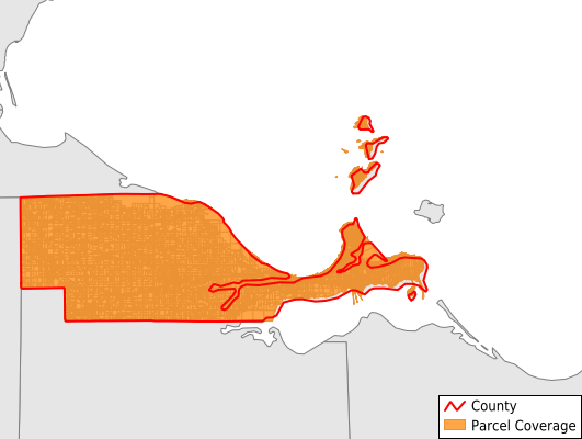
Parcels in County:
54,604
Parcel data available to download as a GDB, GeoPackage, Shapefile, Excel, CSV, or Google Earth KML file.
All purchased data comes with six months of access, including any updates, at no additional cost.
Key attribute coverage for Ottawa County
The percentage of Ottawa County parcels containing the following key attributes:
Owner: 90.7%
Parcel Number: 90.9%
Acreage (Calculated): 100%
Site Address: 90.7%
Mailing Address: 90.7%
All available attributes in Ottawa County
Parcel Number
Site Address
Owner
Acreage (deeded)
Acreage (calculated)
Perimeter
Municipality
School District
Zip Code
Flood Zone
Flood Zone Subtype
Census Tract
Census Block Group
Census Block
Total Market Value
Land Market Value
Building Market Value
Mail Name
Mail Address1
Mail Address3
Legal Desc1
Buildings
Addr Sec Unit Num
Place Gnis Code
Land Cover
Elevation
Owner Occupied
Robust Id
Usps Residential
Alt Id 1
Plss Description
Plss Township
Plss Range
Crop Cover
Acreage Adjacent With Sameowner
Flood Zones
Nearest Transmission Line Dist Ft
Nearest Substation Dist Ft
Derived Geom Properties
Robust Id Source
Geom Id
Duplicate Geom Seq
Duplicate Geom Ct
Municipalities Respresented in Ottawa County
Allen Township: 3,664
Bay Township: 1,810
Benton Township: 3,646
Carroll Township: 3,931
Catawba Island Township: 6,208
Clay Township: 4,170
Danbury Township: 10,500
Erie Township: 2,210
Harris Township: 3,239
Portage Township: 3,085
Put-In-Bay Township: 3,733
Salem Township: 4,766
Port Clinton City: 3,640
Save money when you buy data in bulk
We offer discounted pricing on county and state downloads.