Last Updated:
2026-Q3
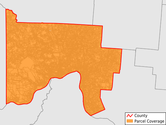
Parcels in County:
58,505
Parcel data available to download as a GDB, GeoPackage, Shapefile, Excel, CSV, or Google Earth KML file.
All purchased data comes with six months of access, including any updates, at no additional cost.
Key attribute coverage for Scioto County
The percentage of Scioto County parcels containing the following key attributes:
Owner: 98.2%
Parcel Number: 99.6%
Acreage (Calculated): 100%
Site Address: 98.1%
Mailing Address: 97.8%
All available attributes in Scioto County
Parcel Number
Site Address
Owner
Transfer Date
Sale Price
Building Size
Neighborhood Code
Acreage (deeded)
Acreage (calculated)
Perimeter
Municipality
School District
Zip Code
Flood Zone
Flood Zone Subtype
Census Tract
Census Block Group
Census Block
Land Market Value
Building Market Value
Story Height
Mail Address1
Mail Address3
Legal Desc1
Year Built
Exterior
Attic
Condition
Conveynum
Lender
Addr Sec Unit Num
Place Gnis Code
Land Cover
Elevation
Owner Occupied
Robust Id
Usps Residential
Plss Description
Plss Township
Plss Range
Crop Cover
Acreage Adjacent With Sameowner
Flood Zones
Nearest Transmission Line Dist Ft
Nearest Substation Dist Ft
Derived Geom Properties
Robust Id Source
Geom Id
Municipalities Respresented in Scioto County
Bloom Township: 2,702
Brush Creek Township: 1,356
Clay Township: 2,846
Green Township: 3,915
Harrison Township: 3,434
Jefferson Township: 2,089
Madison Township: 2,915
Morgan Township: 1,574
New Boston Village: 1,332
Nile Township: 2,611
Porter Township: 7,306
Portsmouth City: 12,862
Rarden Township: 1,215
Rush Township: 2,537
Union Township: 1,834
Valley Township: 2,219
Vernon Township: 1,487
Washington Township: 4,265
Save money when you buy data in bulk
We offer discounted pricing on county and state downloads.