Last Updated:
2025-Q3
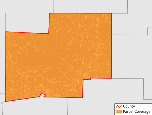
Parcels in County:
202,801
Parcel data available to download as a GDB, GeoPackage, Shapefile, Excel, CSV, or Google Earth KML file.
All purchased data comes with six months of access, including any updates, at no additional cost.
Key attribute coverage for Stark County
The percentage of Stark County parcels containing the following key attributes:
Owner: 99.4%
Parcel Number: 100%
Acreage (Calculated): 100%
Site Address: 98%
Mailing Address: 98.9%
All available attributes in Stark County
Parcel Number
Site Address
Owner
Transfer Date
Sale Price
Neighborhood Code
Land Use Code
Land Use Class
Acreage (deeded)
Acreage (calculated)
Perimeter
Municipality
School District
Zip Code
Flood Zone
Flood Zone Subtype
Census Tract
Census Block Group
Census Block
Mail Address1
Mail Address2
Mail Address3
Legal Desc1
Buildings
Addr Sec Unit Num
Place Gnis Code
Land Cover
Elevation
Owner Occupied
Robust Id
Usps Residential
Plss Description
Plss Township
Plss Range
Crop Cover
Acreage Adjacent With Sameowner
Flood Zones
Nearest Transmission Line Dist Ft
Nearest Substation Dist Ft
Derived Geom Properties
Municipalities Respresented in Stark County
Alliance City: 11,314
Bethlehem Township: 4,467
Canton City: 39,211
Canton Township: 8,912
Jackson Township: 19,320
Lake Township: 13,478
Lawrence Township: 7,362
Lexington Township: 3,901
Louisville City: 4,450
Marlboro Township: 2,921
Massillon City: 17,366
Nimishillen Township: 5,657
Osnaburg Township: 3,894
Paris Township: 3,838
Perry Township: 14,292
Pike Township: 2,943
Plain Township: 24,987
Sandy Township: 2,884
Sugar Creek Township: 4,506
Tuscarawas Township: 3,948
Washington Township: 3,145
Save money when you buy data in bulk
We offer discounted pricing on county and state downloads.